Happy New Year everyone – my best wishes for 2026!
I’ve been looking over the images I took last year and just want to share again some of the ones I think were interesting/fun along with some that I didn’t get around to posting that I hope you might like.
An office-working time traveller from the 1960s and early ’70s would wonder why all these people like him had television sets on their desks ,,,

Migraine inducing loo cubicle in the Leydi Restaurant, Holborn …

Lovely brass instruments in Whitecross Street …

The Silk Street flower bed exactly one year ago …


And yesterday …


I came across this notice one morning at 9:00 am and half an hour later it was gone …

Four of the brave ladies commemorated on the Watts Memorial in Postman’s Park …


A show we sadly didn’t get to see whilst on holiday …

Moon and Venus plus late night office worker …

Duck collection …


Eating some of her five-a-day?

Taking a deep breath before making the plunge?

I don’t think these guys are local …

Shakespeare in Shoreditch …

Spring …


Barbican Conservatory visit …


Long term resident …


The Lord Mayor’s Roller at Guildhall …

One of these days I will not be able to resist pushing this door!

Roof alligator and friend …

Me in silhouette …

Great painting …

I wonder if Fred liked a flutter on the gee gees …

The King’s Birthday flypast …

Moon and modern architecture …


A favourite War Memorial at Paddington. A soldier reads a letter from home – and surely that’s a home-made scarf …

Cute Welsh doggies …


Cute Waitrose doggy …

At the Gilbert and George Gallery …


Ivy Restaurant Chocolate Bomb before the hot chocolate is poured …

Going, going, gone …


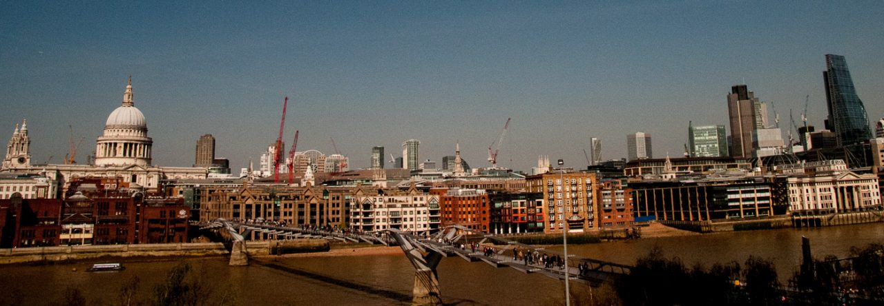
The new City looms over the old Billinggate Market …


The new City also dwarfs the old Royal Exchange and the Bank of England …

St Lawrence Jewry with 22 Bishopsgate and The Scalpel in the background …

Interesting combibination – 22 Bishopsgate, The Cheesegrater, the spires of St Mary-le-Bow and St Martin Ludgate plus the magnificent dome of St Paul’s Cathedral …

The Barbican Conservatory glows at night …


Clever marketing …

Spectacular Hogarth mural at St Bartholomew’s Hospital …

Latest Bidfood truck design to add to my collection …

Harry the Heron looks a bit windblown …

Chilling out in the sun …

Mona Hatoum’s Hot Spot at dusk …


Around here at Christmas, even boring road signs get decorated …

No end of opportunities to improve your skills at the Barbican …

‘Winter drawers on!’ as they used to say …

Christmas gift books I’ve been reading in the Christmas/New Year space, somewhat eclectic I know. Both are excellent – expect to see excerpts from the one on the right in future blogs!

Thank you again for subscribing to my blog.
Have a very happy New Year!
If you would like to follow me on Instagram here is the link …


