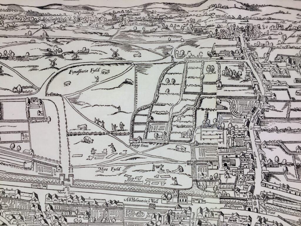
Firstly, another really interesting visit to the Heritage Gallery, housed in the same building as the Guildhall Art Gallery.
Stretching from the suburbs of East London to Epping in Essex, Epping Forest offers nearly 6,000 acres of ancient woodland and open heath for recreation, conservation, and enjoyment. I like this old map I found from about 100 years ago (not on display at the exhibition) …

The land has a long and layered history shaped by royal privilege, commoning traditions, and conservation efforts. Its roots go back to at least the early Middle Ages, when the area formed part of the vast Forest of Essex, a legally defined royal forest subject to forest law. These laws were designed not simply to protect trees, but to safeguard game animals, particularly deer, for royal hunting. From the Norman period, successive monarchs used it for sport and prestige.
From the thirteenth century onward, local people asserted customary rights such as grazing, collecting firewood, and foraging, contributing to a distinctive woodland landscape of pollarded trees and open glades. These traditions helped preserve the forest, even as other woodlands across England were cleared for agriculture.


By the nineteenth century, however, pressures from enclosure and private development threatened to fragment the forest. A crucial turning point came with the Epping Forest Act of 1878, championed by the City of London Corporation. The act ended enclosure, protected commoners’ rights, and placed the forest under the Corporation’s stewardship. Today, Epping Forest remains a rare ancient woodland, valued both for its biodiversity and its cultural heritage. On display at the Heritage Gallery are a selection of items showcasing this rich history.

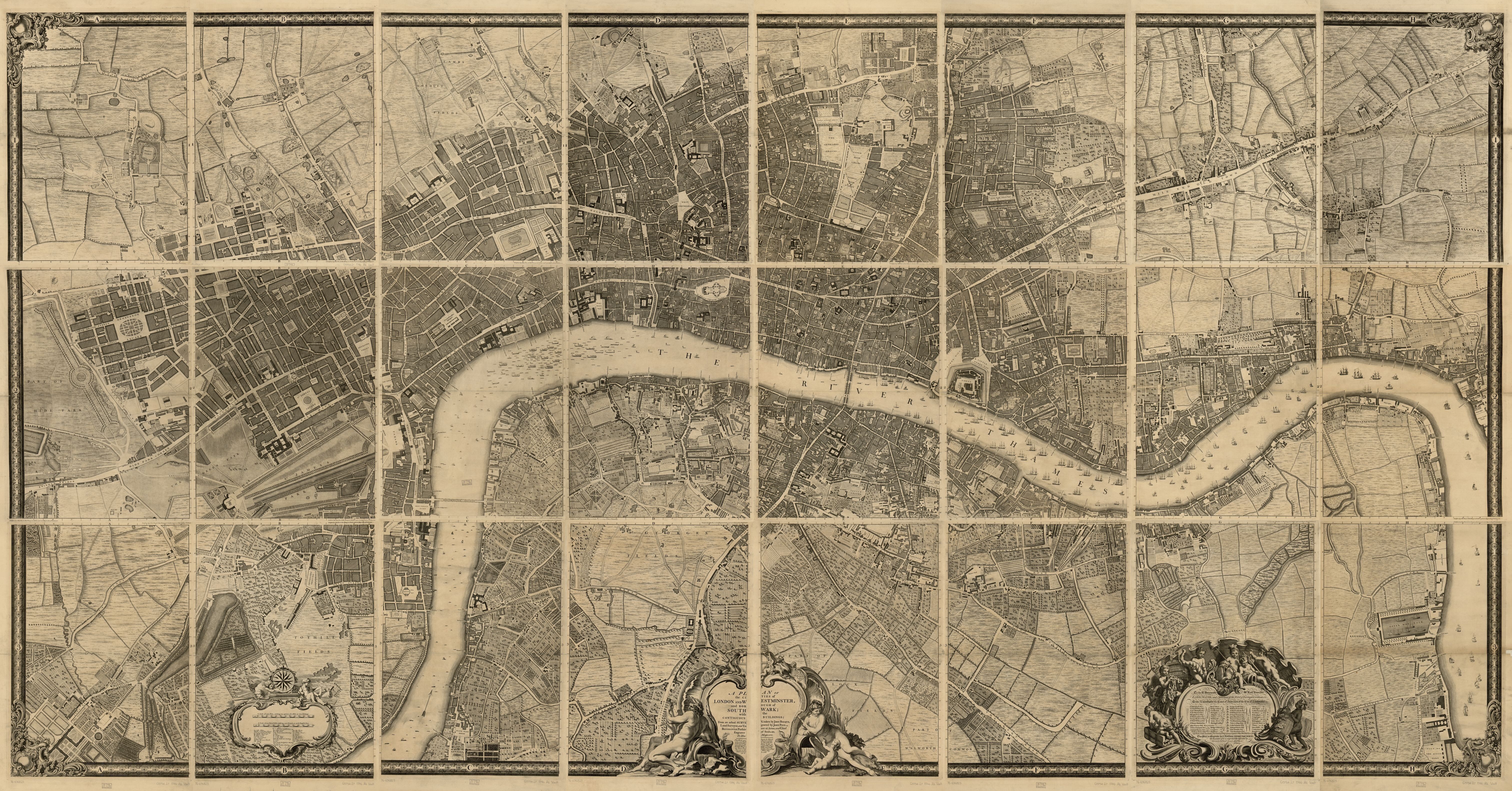
The map on display …

It was drawn by local surveyor William D’Oyley and shows the boundaries and ownership of land in Epping Forest as reached by 1876. Oriented with west at the top, it highlights areas unlawfully enclosed. D’Oyley was appointed as the forest’s first (if temporary) Superintendent.
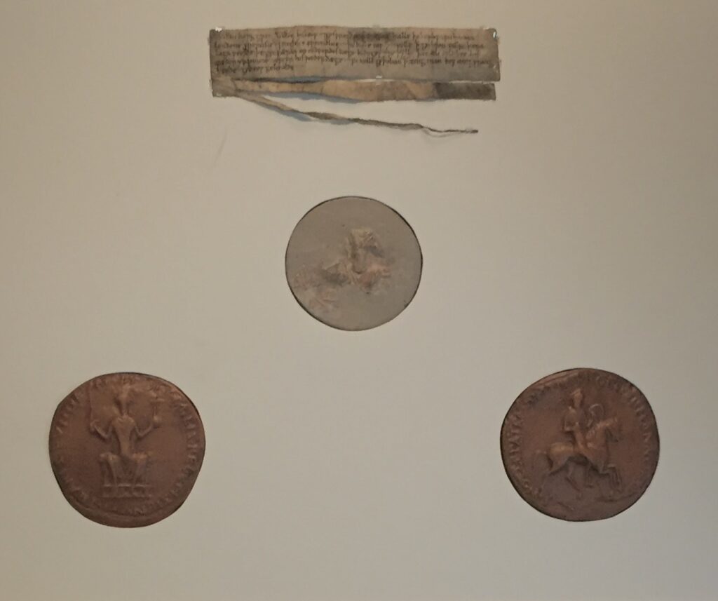
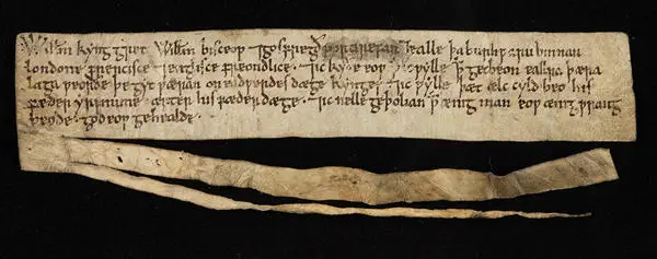
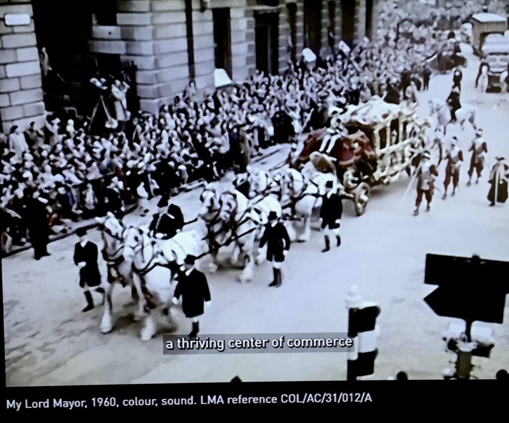
Queen Victoria visited Epping Forest in 1882 and formally dedicated it ‘to the use and enjoyment of my people for all time’. A decorative invitation to the event is on display along with one commemorating a visit by the Lord Mayor …

Management of the forest was entrusted by the City to the Superintendent and his team of Forest Keepers who enforced bye-laws, supported conservation efforts and enabled visitor access.
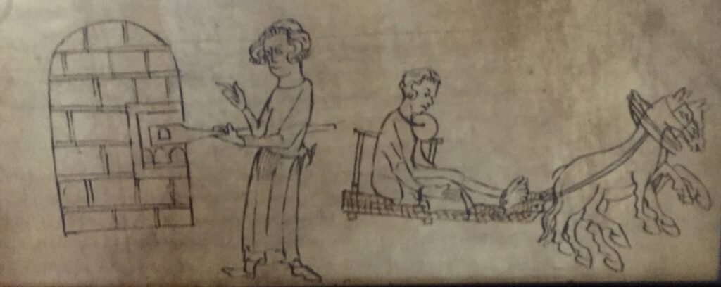
The keepers kept daily diaries to record patrols, seasonal changes and incidents. An example from 1903 is on display which describes the apprehension of a man with a catapult who is duly hauled off to the police station …

There is a 1912 report by Forest Keeper Sidney Butt concerning illegal bird trapping …

Seen in the photograph above, Sidney joined the service in 1894, following in the footsteps of his father who had been one of the original Keepers of 1876. A Forest Keeper until 1938, Sidney emboied the dedication of those who cared for the forest.
Uniforms such as the one in the photograph were a point of pride and discipline for Keepers while everyday attire had to be robust and practical for regular woodland patrols.
I like this correspondence from clothes outfitters Hyam & Co Limited regarding Forest Keeper Mutch who, between 1892 and 1894 had ‘got very much stouter’ …

There’s a section on visiting the forest …

… and some fascinating signage with a detailed background history …


It’s a terrific little exhibition and it’s always a pleasure to visit the Guildhall Art Gallery as well. Entry is free as are the regular, informative guided tours. You can also visit the beautiful works by Evelyn De Morgan but hurry because the event closes on 4th January next year. You can read more about it here.
There are also lots of nice things for sale in the Gallery shop. That little book in the middle of the top shelf looks interesting!

Finally, some sad news. Last week I was privileged to attend the launch of Gillian Tindall’s book Journal of a Man Unknown at Hatchards, Piccadilly. Gillian died on 1st October but, although tinged with sadness, it was also a joyous occasion with a speech by Colin Thubron and a reading from her novel. Click here for the eulogy which Thubron read at her memorial gathering held at Cecil Sharp House in Regent’s Park on Friday last week. Click here for her obituary in The Guardian newspaper.
Click here to order a copy of the book.

If you have not read anything by Gillian before you are in for a treat. May I suggest two of my favourites: The House by the Thames and The Tunnel Through Time. She was also a regular guest author of Spitalfields Life and you can read one of her contributions (on the history of the underground railway) here.
If you would like to follow me on Instagram here is the link …
