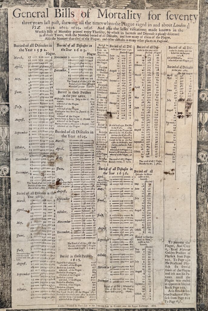
In this exhibition the Barbican invites you to explore the impact of Pan-Africanism on artistic and cultural production from the 1920s to the present, through over 300 works – from paintings and installations to posters, journals and film.
The term Pan-Africanism refers to a broad spectrum of political and philosophical movements advocating anti-colonial resistance and transnational solidarity amongst peoples of African descent. While it has long been recognised as a galvanising force in 20th-century global history, Project a Black Planet is the first major exhibition to consider both its influence on visual art and culture, and the critical role of artists in shaping Pan-African visions.
You will find a very informative review of the exhibition here – it might be useful to read this first since my blog consists of many untitled images.


In Jamaica, a “bling funeral” is a lavish, extravagant ceremony that many poor Jamaicans plan for several years to leave in style an existence that would otherwise remain unnoticed. In 2014, Ebony G. Patterson created 50 splendidly decorated coffins on pedestals to celebrate the lives of working class people and, with the help of art students, she marched the coffins along the streets of Kingston during the Carnival parade …


Standing in front of the coffins, Kader Attia’s installation Asesinos! Asesinos! (Assassins! Assassins!) evokes another collective humble presence: the political protesters whose voices have been suppressed.
The doors, sawn in half and hinged together into A-frame formations, bear silent megaphones that fail to amplify the crowd’s demands. The title itself is deliberately ambiguous: “Murderers! Murderers!” could be the cry of the people—or Attia’s condemnation of the repression that has silenced them …


One of the recurring themes running through the exhibition is the use of collective symbols such as the Pan-African flag—red, black and green—created by Marcus Garvey’s Universal Negro Improvement Association. Red represents the blood of the African diaspora, black the sovereignty of peoples of African descent and green the fertility of the African soil. These flags evoke a globally dispersed people, a community without borders, united by memory and the struggle for self-determination.
Hanging in the exhibition are David Hammons’ African-American Flag 1990 and Chris Ofili’s Union Black 2003 …

I really liked these random, found pieces of wood turned into faces by El Anatsui …


Some more images from the exhibition …


Some reviewers were very critical as to whether the exhibition achieved its objective, but I loved it just for the work on display. Highly recommended (and the gallery is air conditioned!).
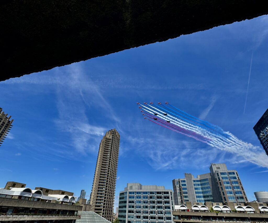
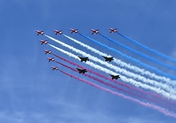
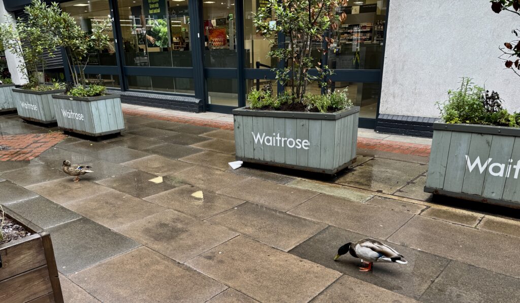
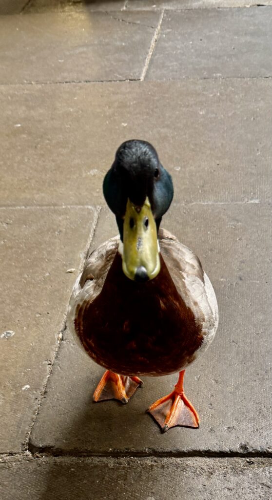
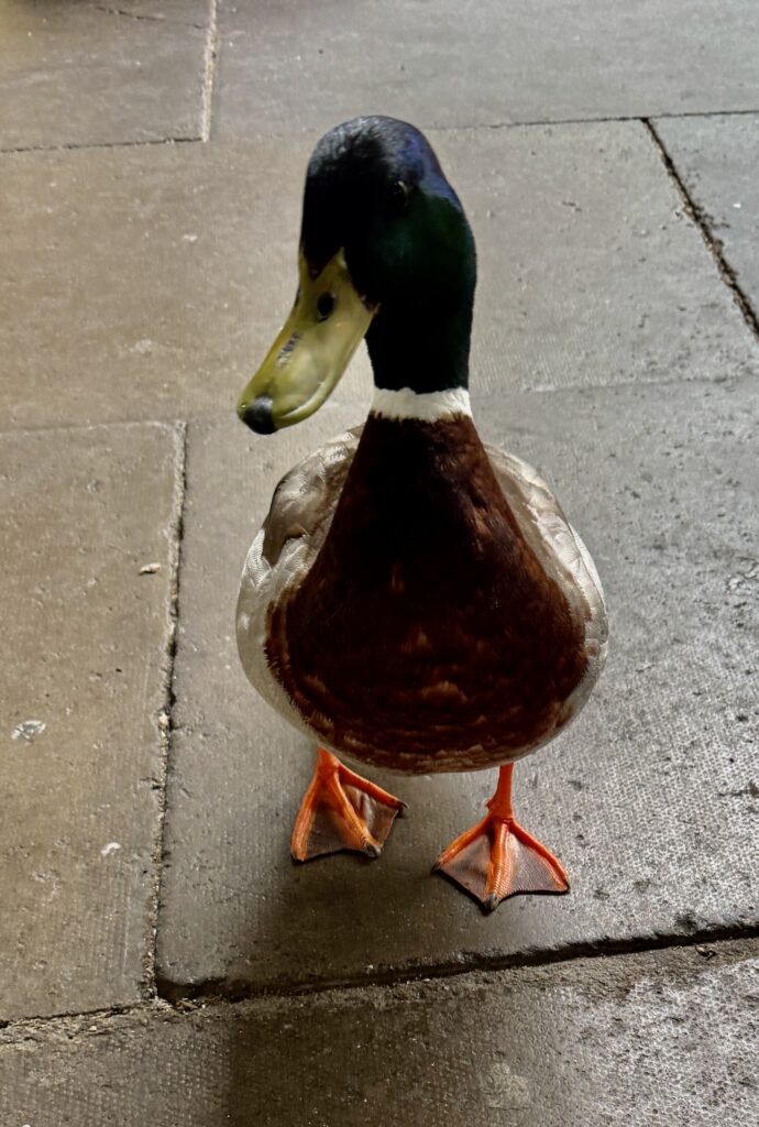
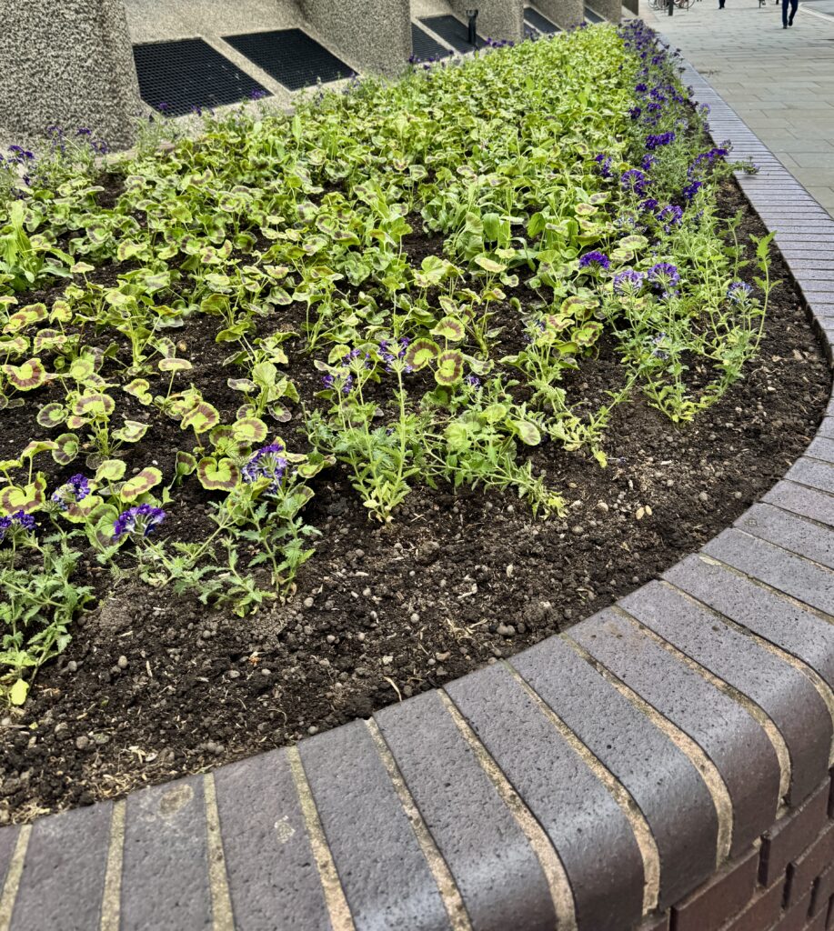
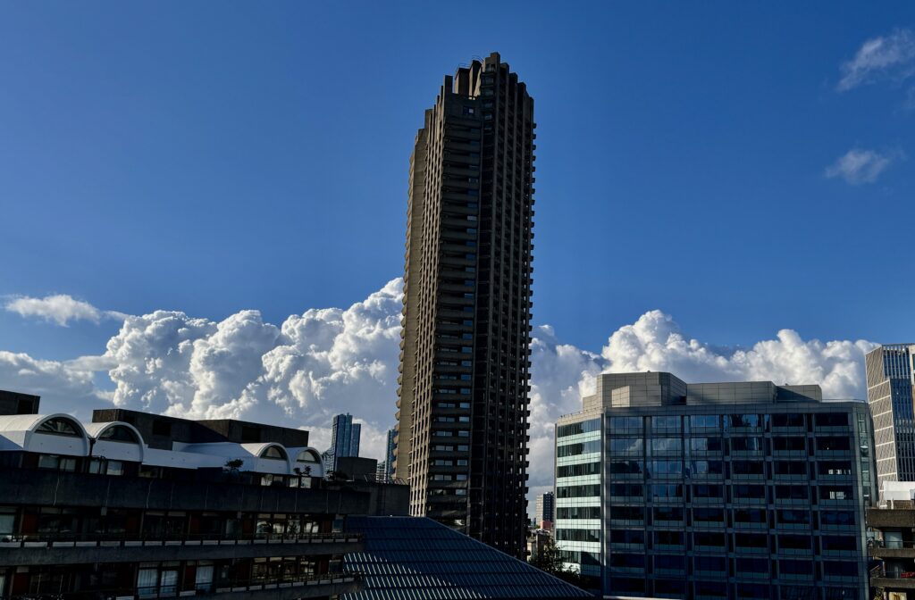
In other news.
Tower 42 and 22 Bishopsgate at sunset …

I saw this sign on a train last week …

A man got on wearing a three-piece suit, a bow tie, a bowler hat and was carrying a briefcase. If that’s not unusual nowadays I don’t know what is but when I texted that number they weren’t interested!
RIP the wonderful David Hockney, CH, 1937-2026. Almost every day I walk past this poster in the Barbican reception area. It was designed by David for the opening of the Barbican Arts Centre on 3rd March 1982 and was signed by the artist for the Director Henry Wong, CBE …

Next week I’ll be writing about my recent excursion to Greenwich …

If you would like to follow me on Instagram here is the link …