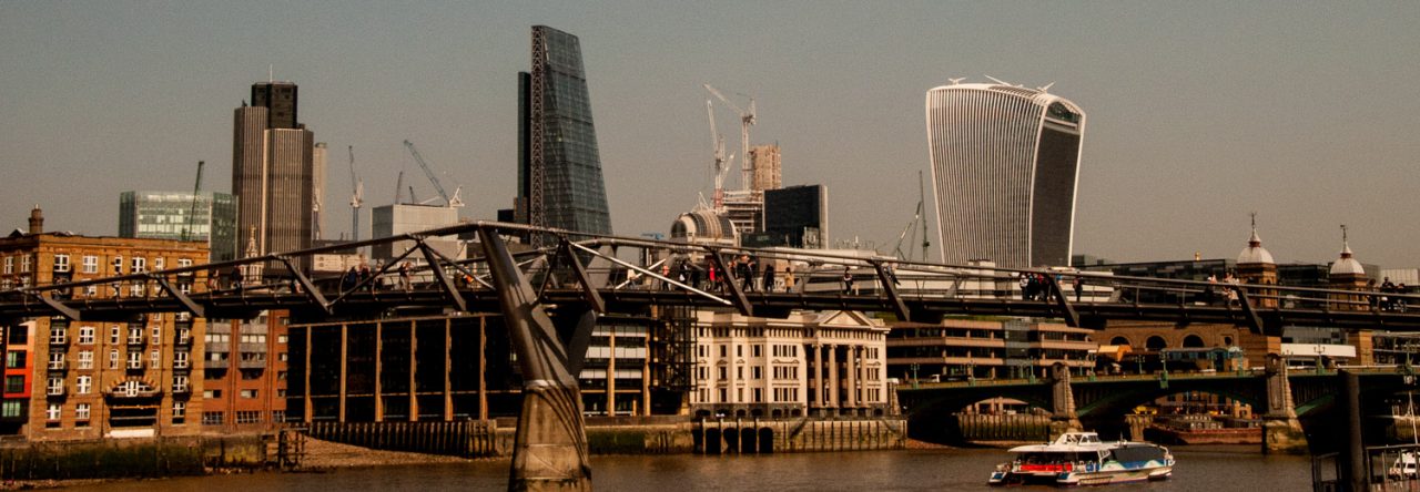
Once upon a time, access by foot to the River Thames was absolutely essential since it was London’s main highway. These ‘Watermen’s Stairs’ were also of great benefit if you were unfortunate enough to fall into the river. A Waterman would usually be nearby plying for hire and might be inclined to rescue you (and the stairs were often adjacent to a public house, where such accidents could be more likely to happen!).
Although wharves and later rudimentary docks began to be used to offload goods, most ships simply moored in lines in the middle of the river and their cargo was rowed to shore and carried up shoreline stairs.
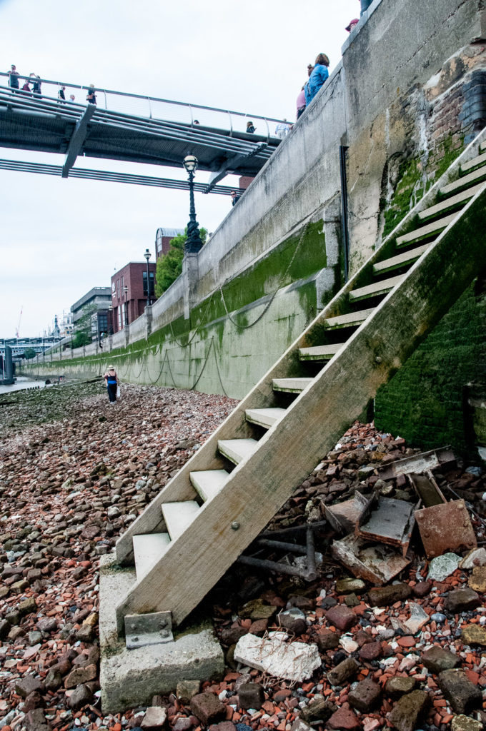
John Rocque’s London Map of 1756 showed literally dozens of such access points and last Sunday I decided to go in search of what was left of them, starting at the east side of the Millennium Bridge. These are the steps leading to the foreshore …
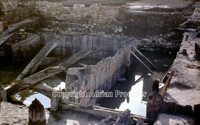
This is the exact spot where the ancient Trig Lane access to the River was located and back in the 1970s redevelopment work revealed a 14th century wharf. Here is a picture of some of the site taken in 1974, now totally covered by riverside office development …
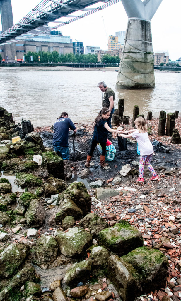
There was some amateur excavation taking place when I visited …
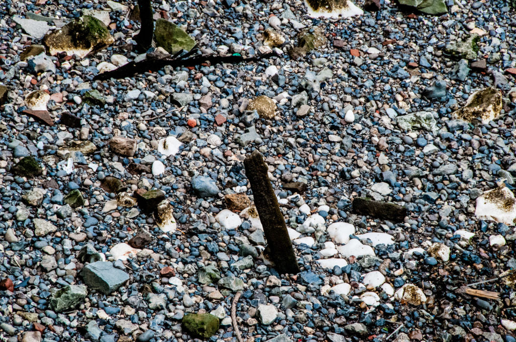
Looking all around you see lots of pieces of pottery, tiles and bricks along with lumps of chalk …
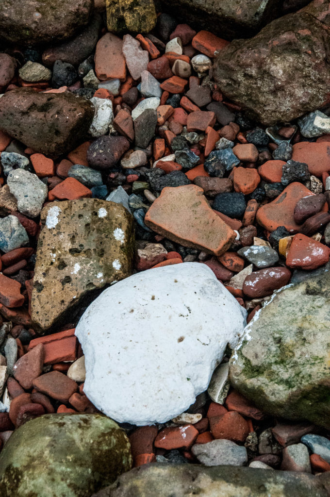
Large chalk beds were once laid down to provide a soft settling place for barges at low tide.
It’s rather a strange feeling standing on the river bed and gazing along the foreshore …
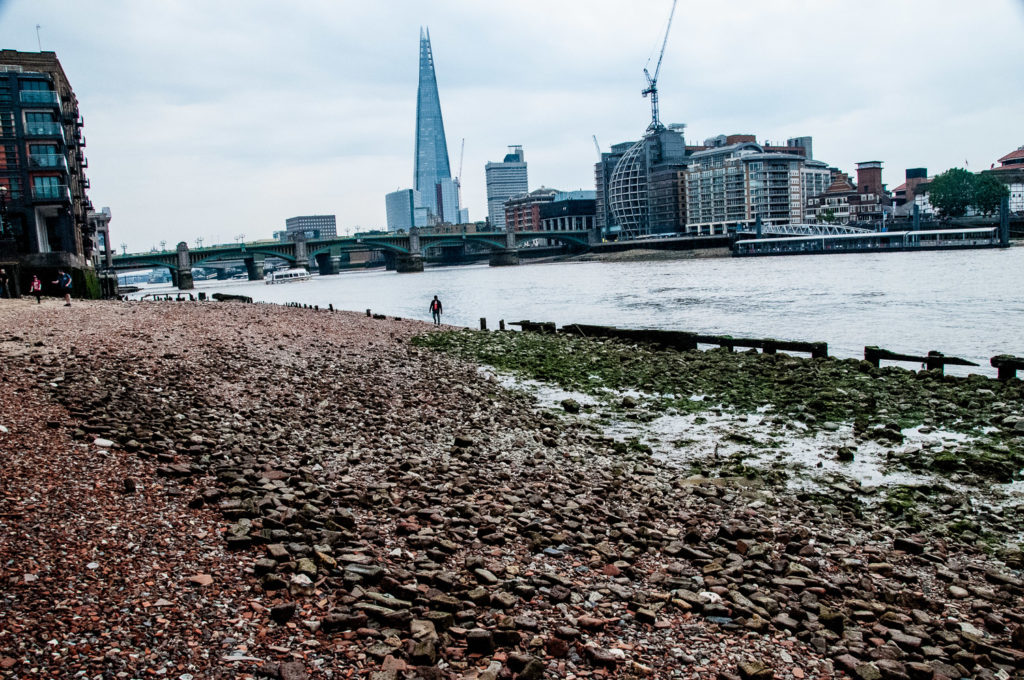
As I walked east I looked back and spotted a sandy beach. You can see the Trig Steps in the distance …
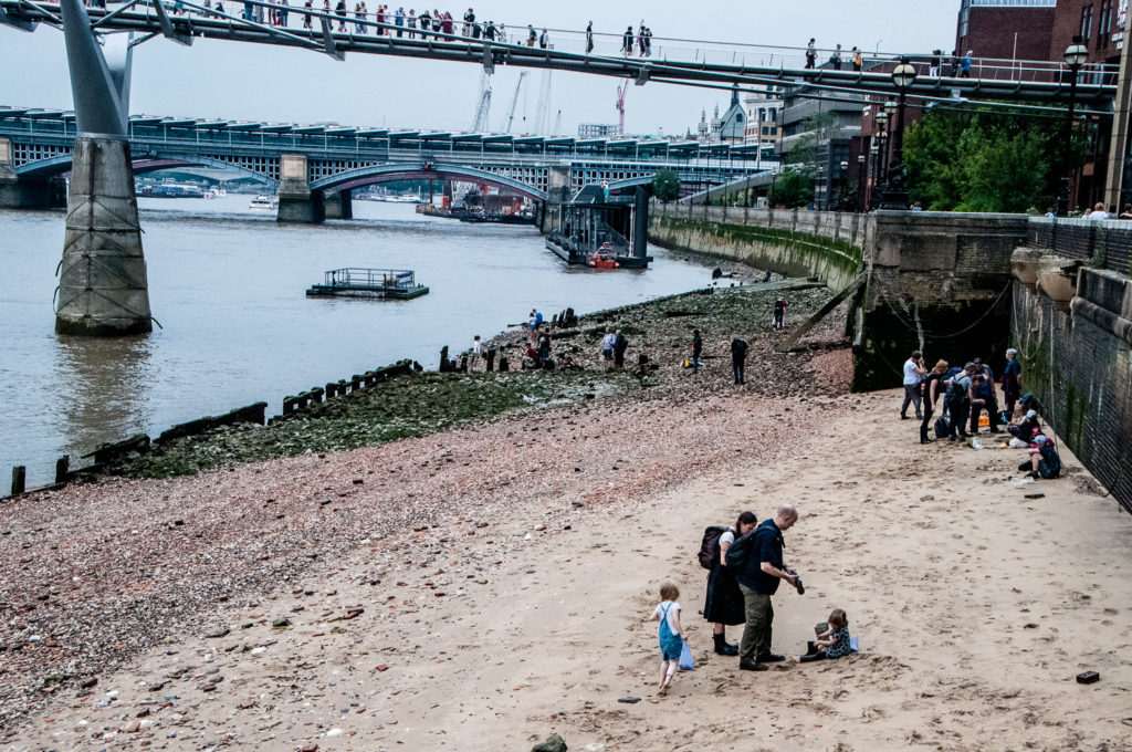
My next stop was the Cousin Lane steps next to Cannon Street railway station …
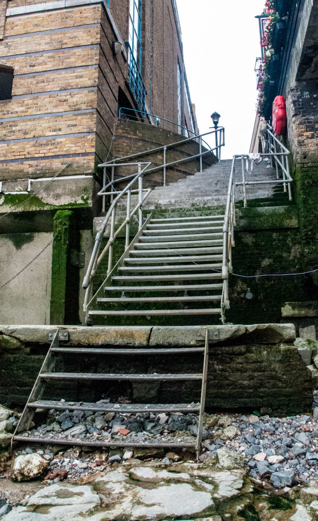
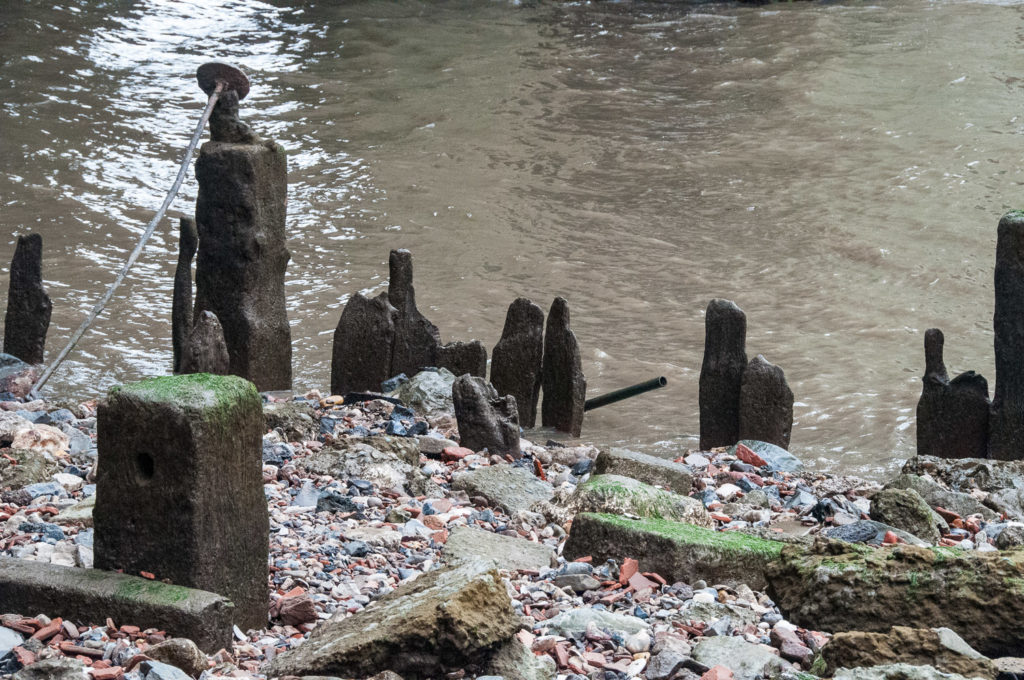
As is common along the River, you can see the remains of old wharves …
And a barge resting nearby …
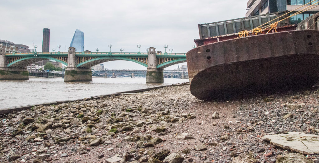
I got a distinct feeling that I was trespassing.
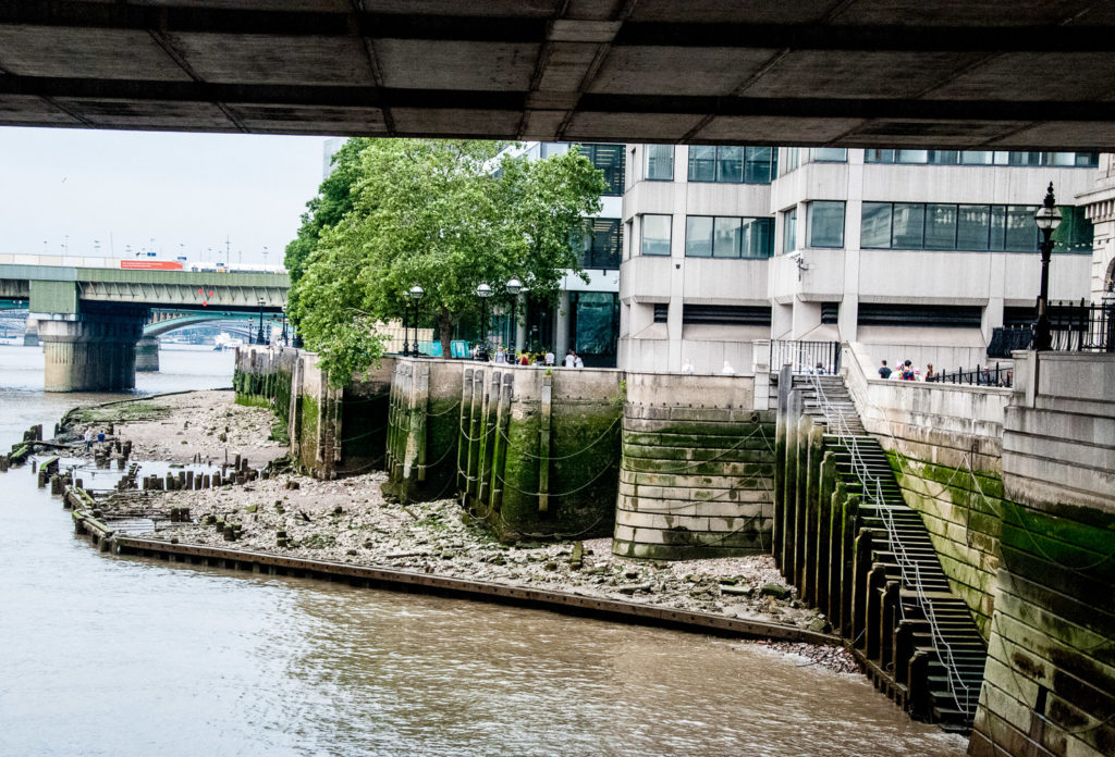
These steps at London Bridge are no longer open to the public. Again the remains of old wharves are visible at low tide …
Further along the Thames Walk a capstan reminds us of the days when this part of the river was a major commercial shipping hub …
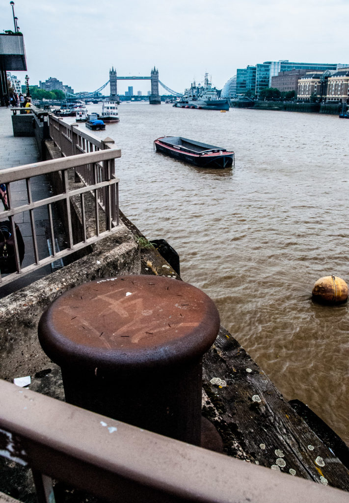
Looking over the riverside wall, lots more lumps of chalk are clearly visible …
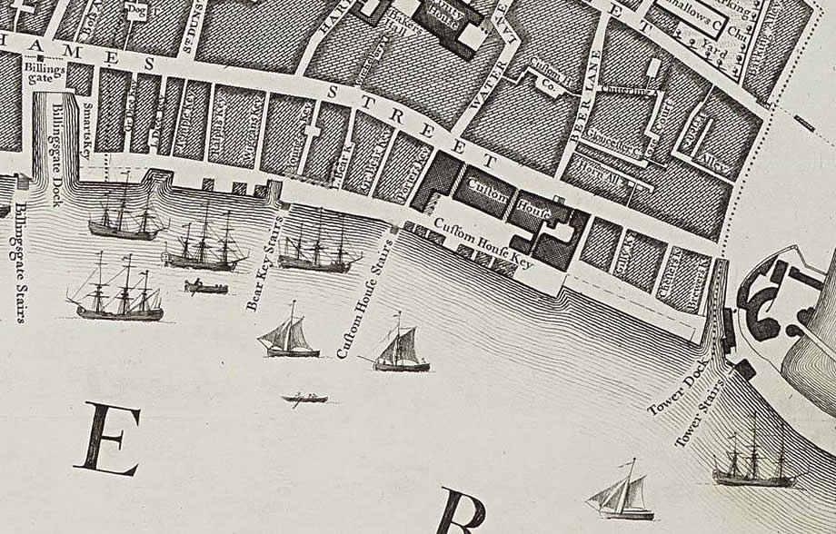
Next on my list was Custom House Stairs – here is how they appear in Roque’s Map of 1746 …
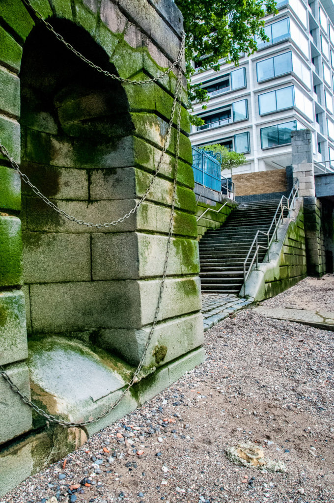
And here they are today …
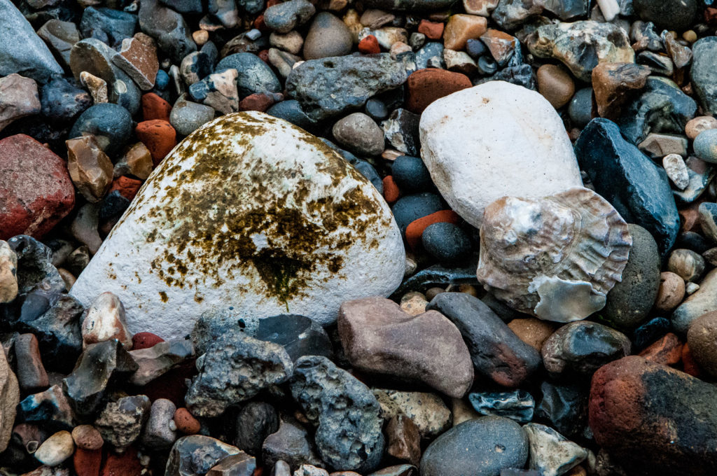
I encountered lots of oyster shells on my walk, once a very cheap source of food for Londoners …
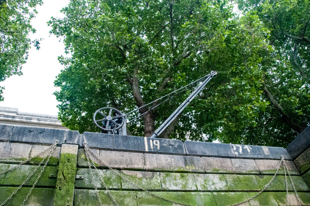
An old winch still decorates the pedestrian walkway …
As I walked past the Tower I was reminded of pictures I had seen of the beach there that was opened up in July 1934 for the use of people who couldn’t afford to go to the seaside. Apparently 1,500 bargeloads of sand were used to create it …
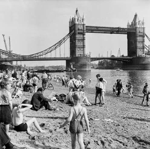
It was finally closed in 1971 due to river pollution. There is a nice blog about it here.
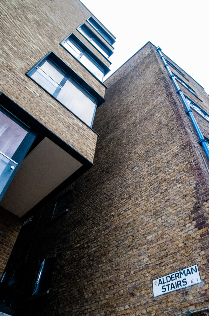
My final set of stairs were located just past St Katharine Dock along St Katharine’s Way. The entrance is easy to miss since the signage is quite high up …
Here I hesitated …
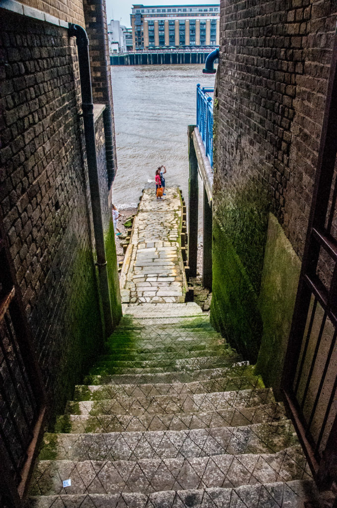
It’s all a bit slimy and slippery …
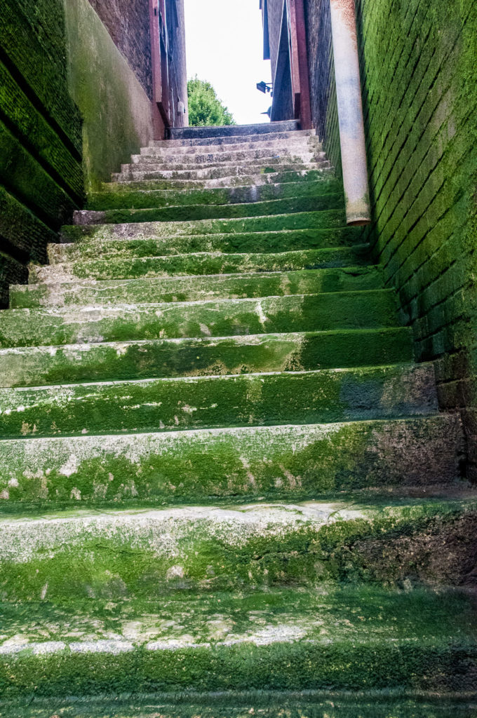
When you reach the bottom it’s clear you are definitely below the level of high tide …
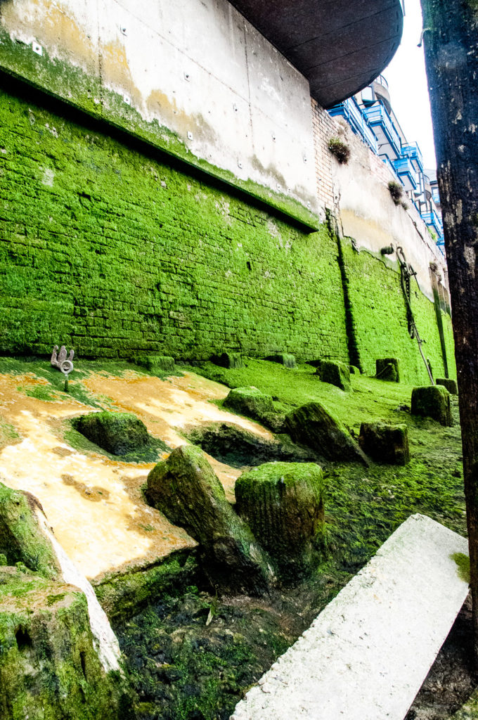
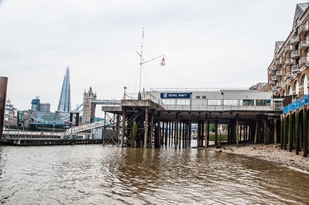
The view looking west …
As I looked back up the steps I was reminded of a story in the London Inheritance blog.
On the 24th April 1847, the Illustrated London News reported on arrivals at Alderman’s Stairs …
IRISH IMMIGRATION INTO LONDON – The importation of Irish paupers, so much complained of in Liverpool and Glasgow, begins to wear a threatening aspect in London. On Sunday, the Prussian Eagle, from Cork, and the Limerick, from Dublin, landed 1200 Irish Paupers at Alderman’s Stairs, Lower East Smithfield. The new comers, who were in the most wretched state of distress, were forthwith distributed over the eastern part of the metropolis. The same vessels landed 1200 Irish paupers on Sunday week.
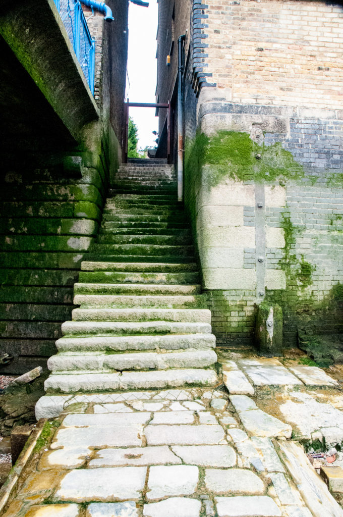
I hope these steps led to a better life for some of those poor souls, many surely victims of the Great Irish Famine of 1845 to 1849.
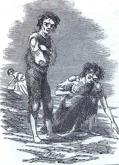
The scene at Skibbereen during the Great Famine, by Cork artist James Mahony (1810–1879), commissioned by The Illustrated London News.
