Symbols & Secrets

Walking the City of London

St Stephen Walbrook: the Samaritans, Henry Moore and a brave doctor.

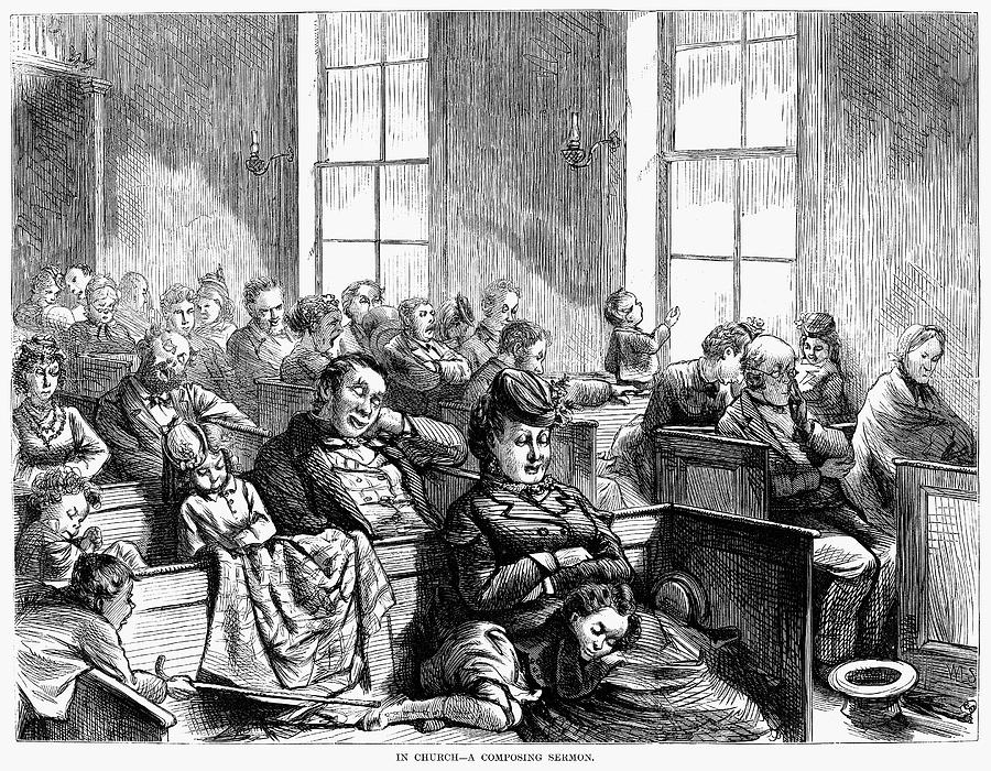
One day in 1936 a young priest officiated at his first funeral – a 14 year old girl who had killed herself because, when her periods started, she thought it was a sign of a sexually transmitted disease. That there seemed to have been no one she could talk to had a profound effect on him, but it was not until 18 years later that, as he put it,

I read somewhere there were three suicides a day in Greater London. What were they supposed to do if they didn’t want a Doctor or Social Worker … ? What sort of a someone might they want?

He looked at his phone, ‘DIAL 999 for Fire, Police or Ambulance’ it said …

There ought to be an emergency number for suicidal people, I thought. Then I said to God, be reasonable! Don’t look at me… I’m possibly the busiest person in the Church of England.

When the priest, Chad Varah, was offered charge of the parish of St Stephen in the summer of 1953 he knew that the time was right for him to launch what he called a ‘999 for the suicidal’. He was, in his own words, ‘a man willing to listen, with a base and an emergency telephone’. The first call to the new service was made on 2nd November 1953 and this date is recognised as Samaritans’ official birthday.

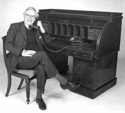
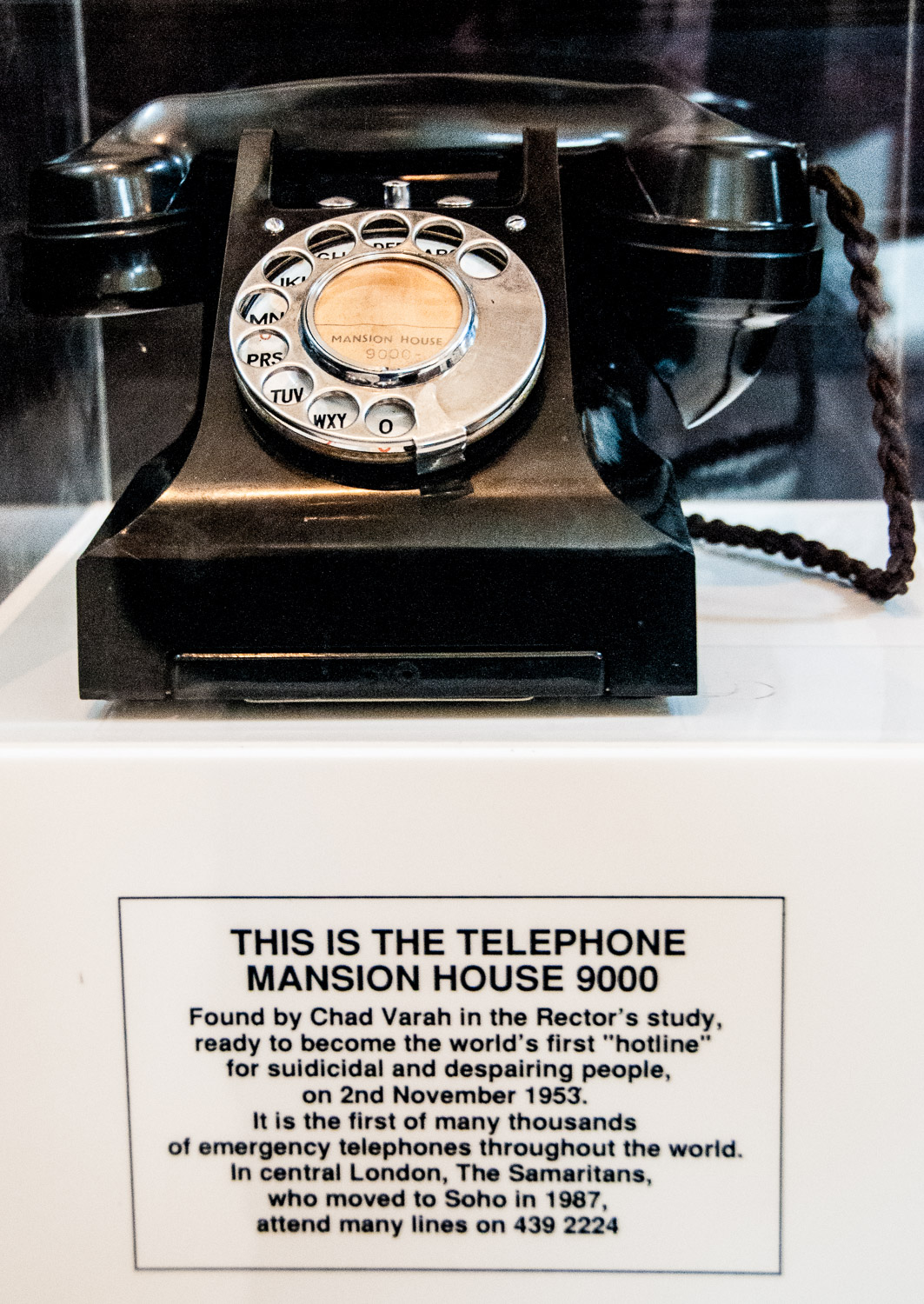
The Reverend Dr Chad Varah at his telephone – you just had to dial MAN 9000.

It soon became obvious that the volunteers, who used to keep people company whilst they were waiting to speak to Chad, were also capable of helping in their own right and in February 1954 he officially handed over the task of supporting the callers to them.

If you visit the church you can see the phone itself …

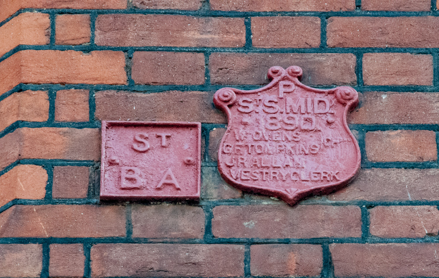
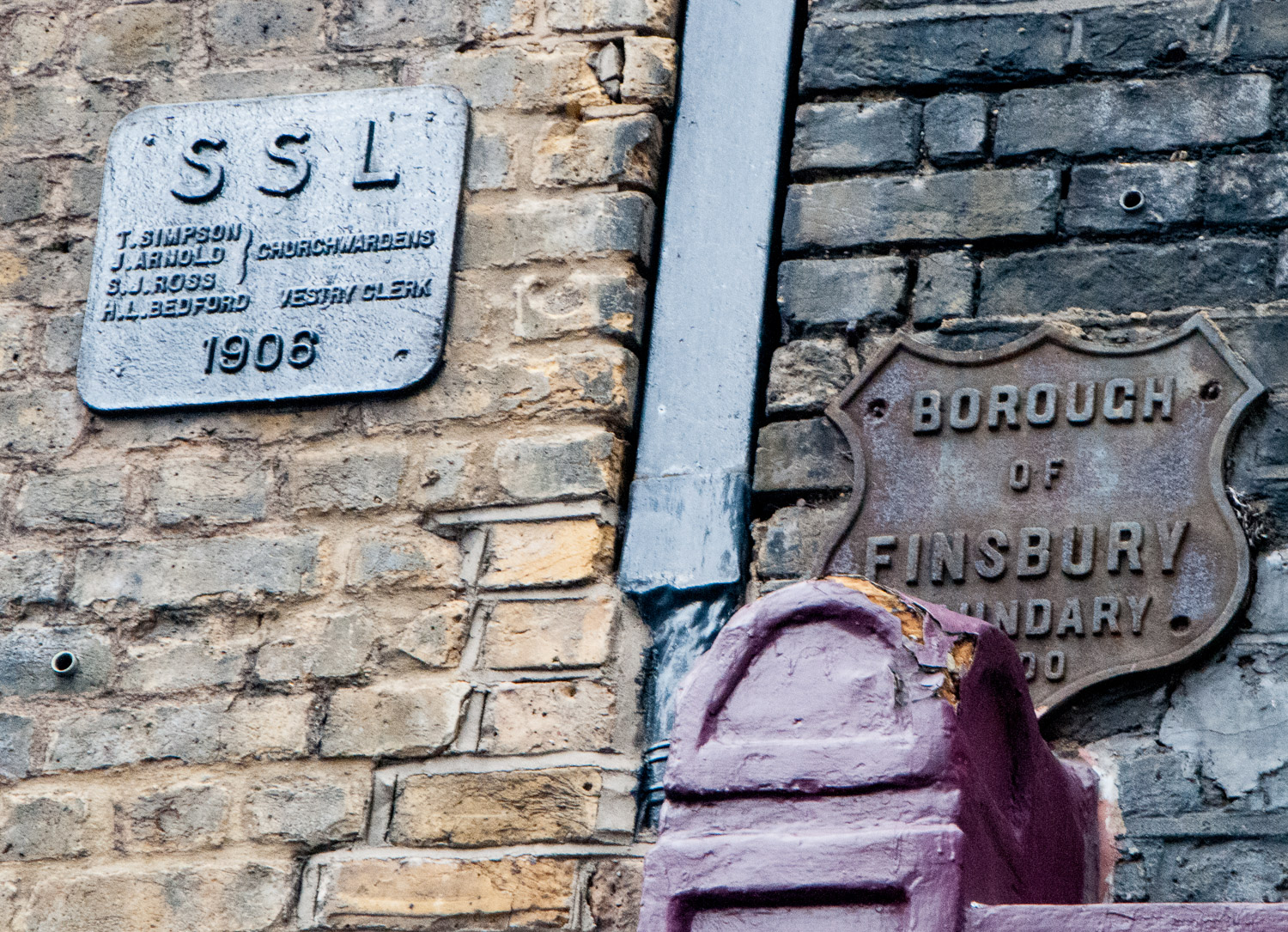
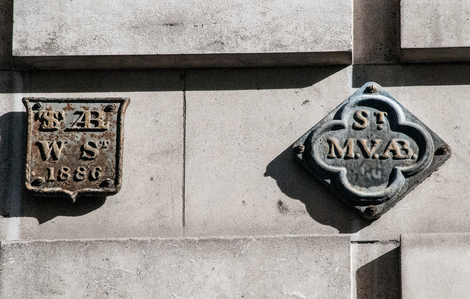
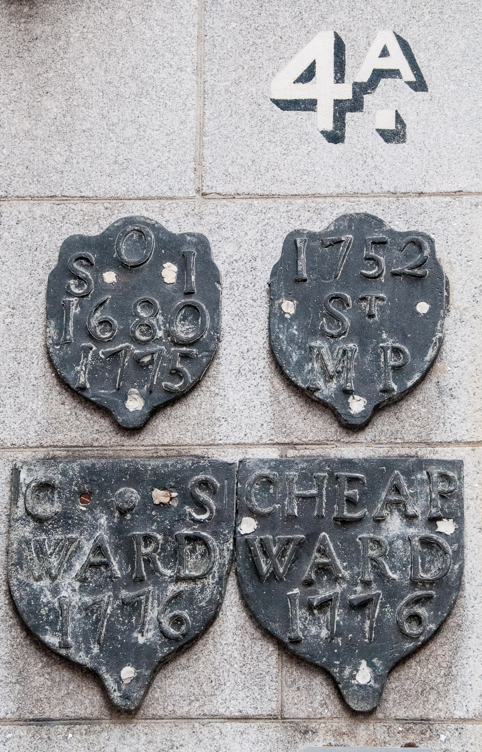
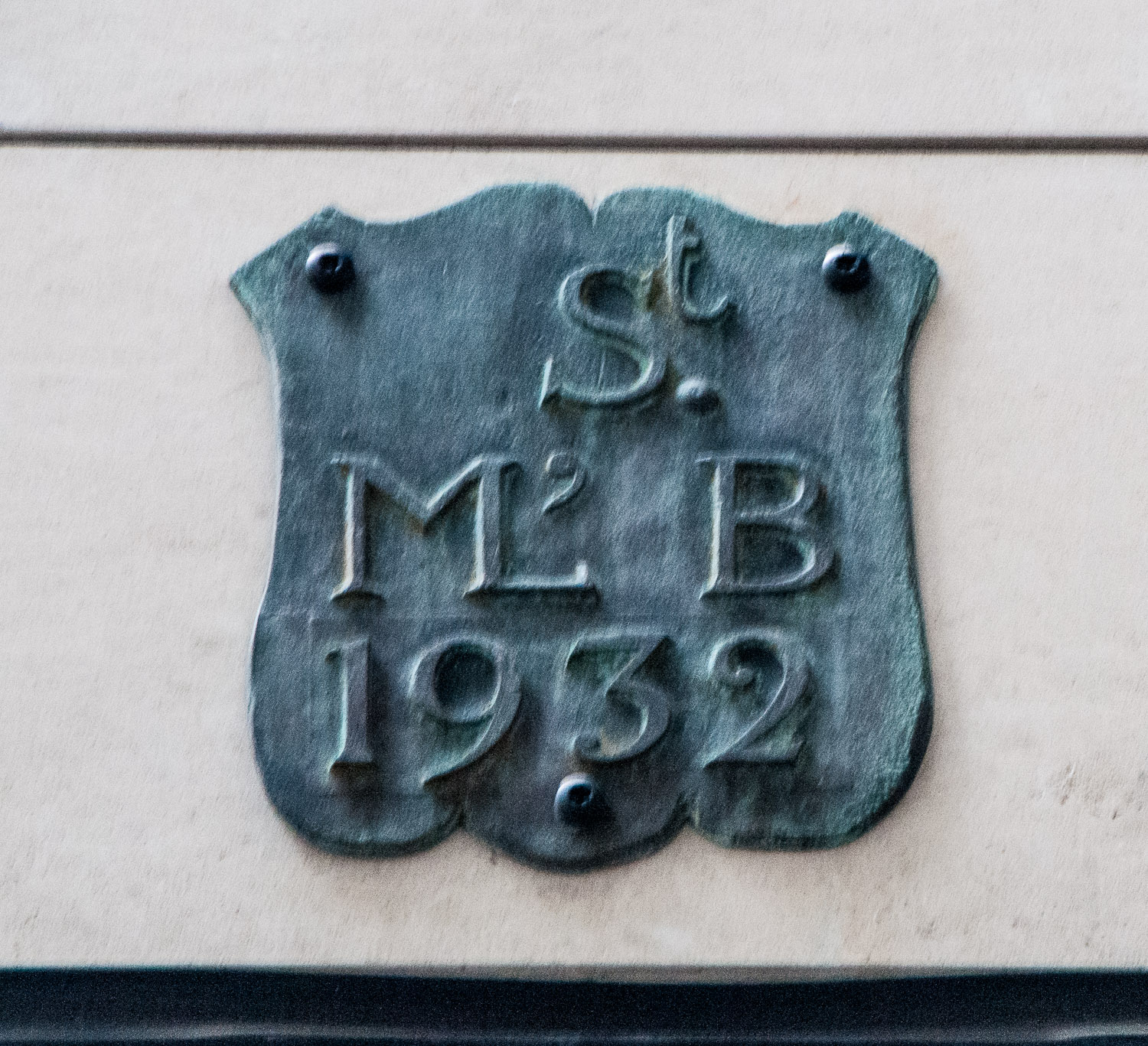
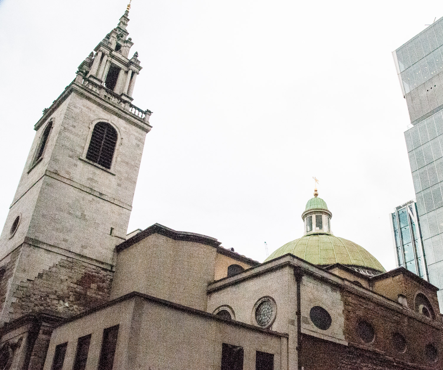
St Stephen Walbrook (rebuilt 1672-80) was one of Wren’s largest and earliest churches and the meticulous care taken with it might, some suggest, be because Sir Christopher lived next door. Incidentally, Mr Pollixifen, who lived on the other side, bitterly complained about the building taking his light. Maybe he was mollified when the the church’s internal beauty was revealed.

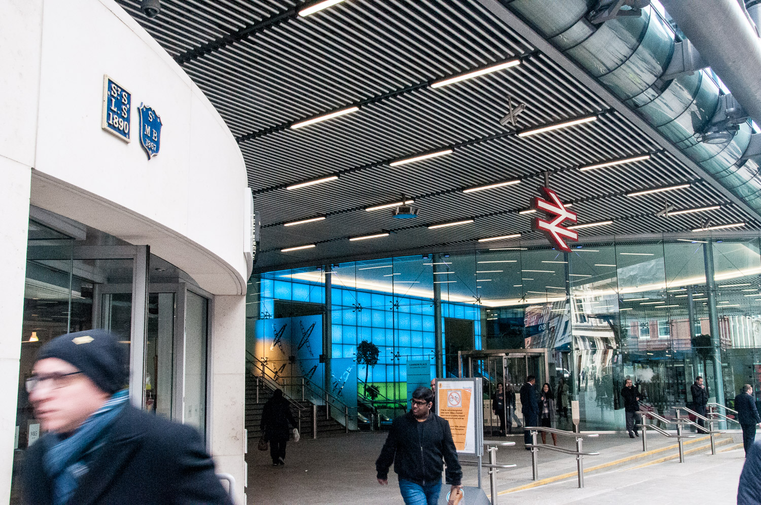
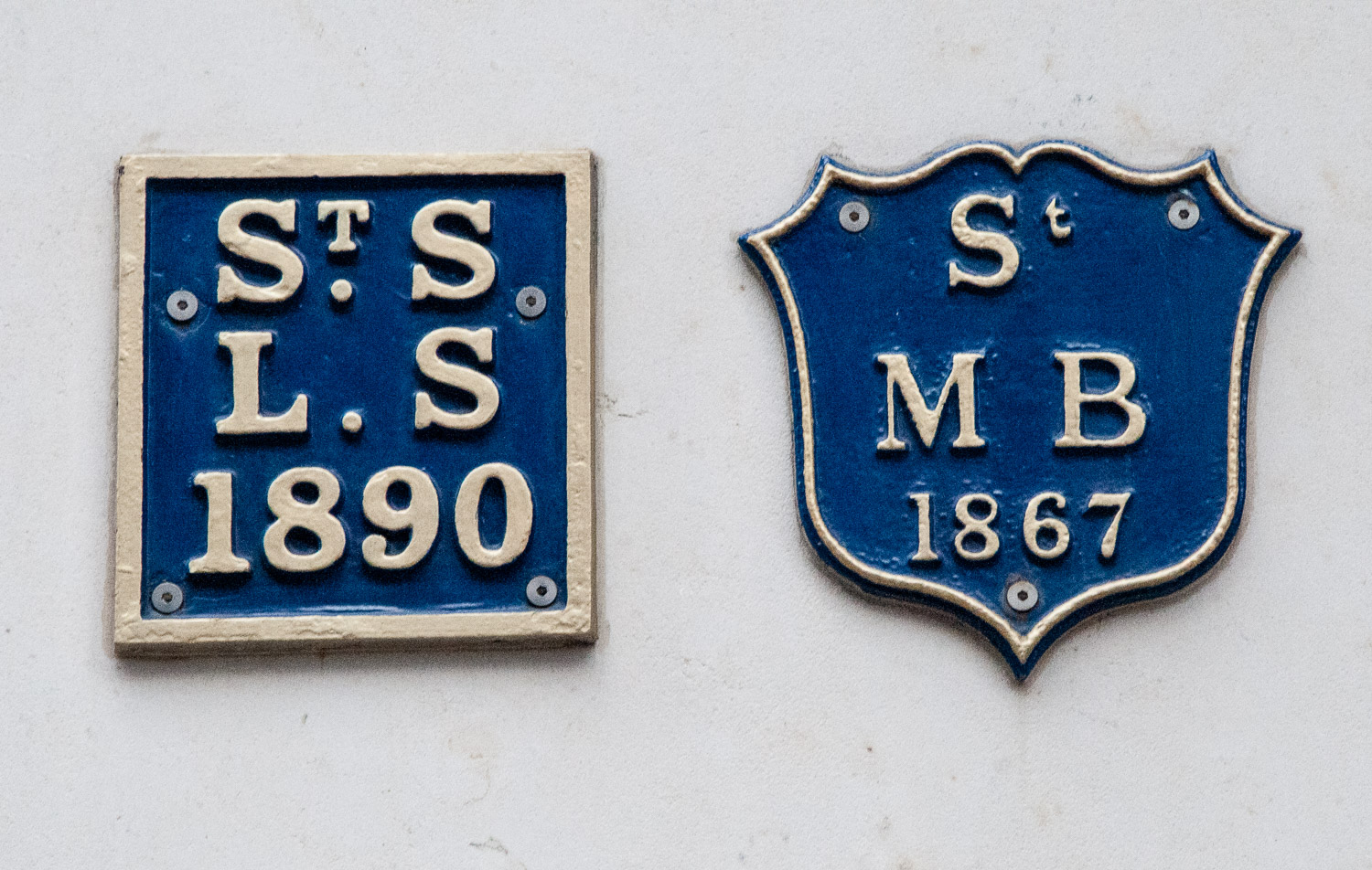
Views towards St Stephen’s have opened up since completion of the new development on Walbrook, which also houses a meticulously restored Temple of Mithras (see my 25th January blog: The Romans in London – Mithras, Walbrook and the Games).

Looking at the exterior one can see the lovely green Byzantine style dome …

The interior is bright, intimate and stunning, old Victorian stained glass having been removed …

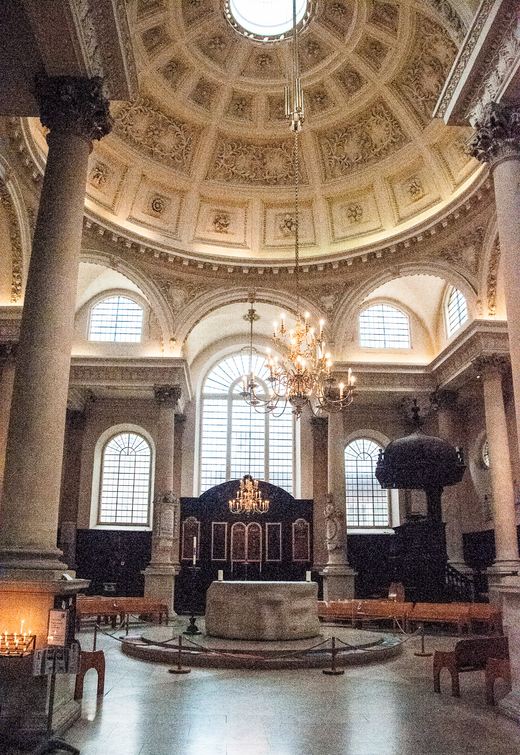
Wren’s dome and Sir Henry Moore’s altar

The dome was the first of its kind in any English church and a forerunner of Wren’s work on St Paul’s Cathedral. After being damaged in the Blitz the church was restored by Godfrey Allen in 1951-52. Controversy broke out when, between 1978 and 1987, the church was re-ordered under the sponsorship of churchwarden Peter (later Lord) Palumbo and a striking ten tonne altar by Sir Henry Moore was placed at its centre.

Sometimes I look at church memorial plaques and, if they are entirely in Latin, just rather lazily move on. In this case it was a big mistake since I was ignoring a tribute to a very brave man …

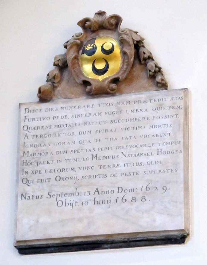
Dr Nathaniel Hodges’ memorial on the north wall. Photograph: Bob Speel.

Unlike many physicians, Dr Hodges stayed in London throughout the time of the terrible plague of 1665.

First thing every morning before breakfast he spent two or three hours with his patients. He wrote later …

Some (had) ulcers yet uncured and others … under the first symptoms of seizure all of which I endeavoured to dispatch with all possible care …

hardly any children escaped; and it was not uncommon to see an Inheritance pass successively to three or four Heirs in as many Days.

After hours of visiting victims where they lived he walked home and, after dinner, saw more patients until nine at night and sometimes later.

He survived the epidemic and wrote two learned works on the plague. The first, in 1666, he called An Account of the first Rise, Progress, Symptoms and Cure of the Plague being a Letter from Dr Hodges to a Person of Quality. The second was Loimologia, published six years later …

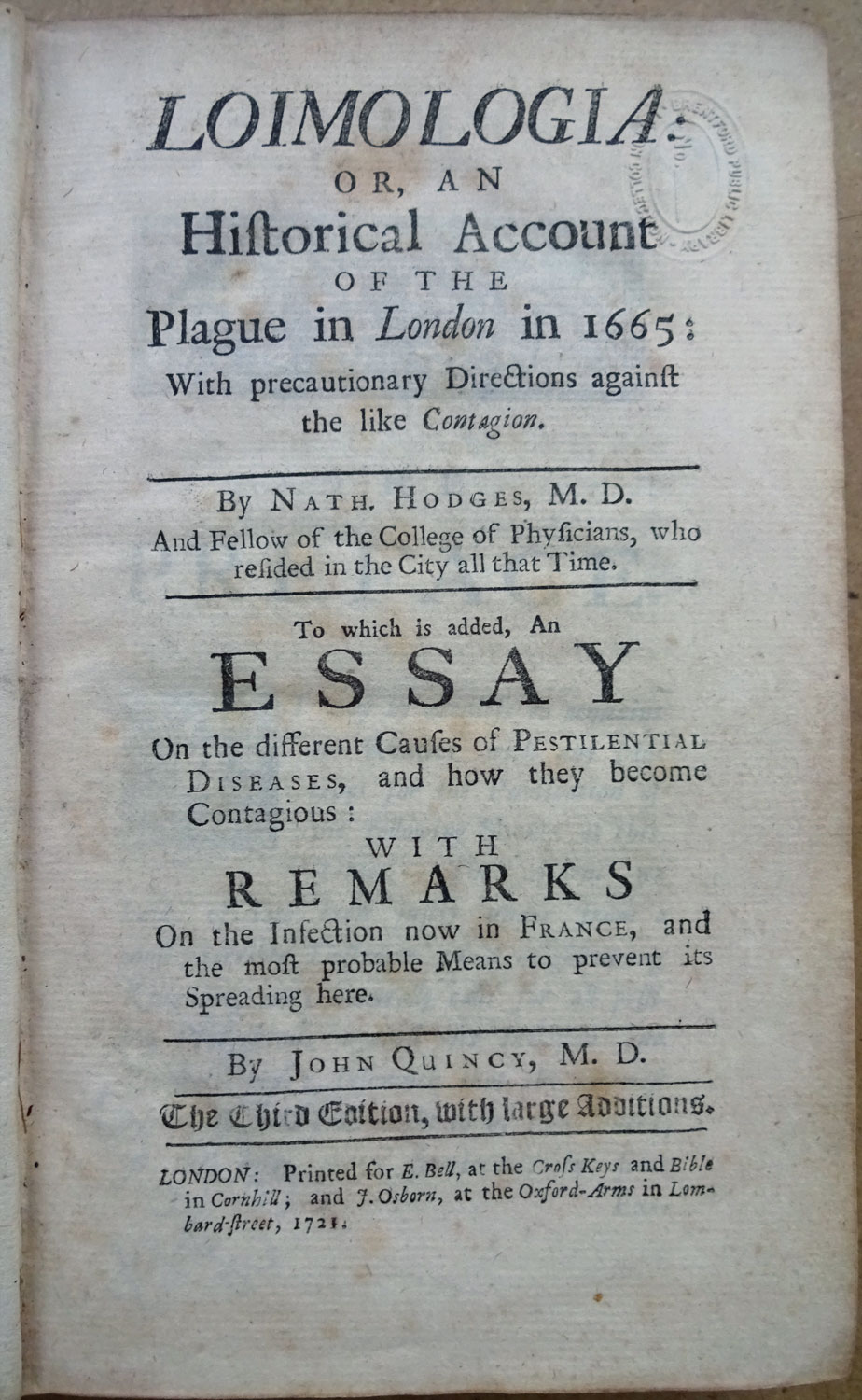
A later edition of Dr Hodges’ work, translated from the original Latin and published when the plague had broken out in France.

It seems particularly sad to report that his life ended in personal tragedy when, in his early fifties, his practice dwindled and fell away. Finally he was arrested as a debtor, committed to Ludgate Prison, and died there, a broken man, in 1688.


The City Parishes and their boundaries

Since I wrote last week’s blog I became a bit obsessed with old boundary markers and started recording the ones I hoped my readers might find interesting. The City contains over 120 parishes, known primarily by the name of a church rather than a location, and although some may consist of only a few streets, up until the end of the 19th century they played an important part in the City’s governance. Although small, they were often densely populated, and most rectors and vicars would have known the majority of their brethren.

Church attendance was sometimes more of a duty than a pleasure.

As historian Mike Horne has pointed out, the parish already had a version of ‘management’ in the form of its vestry and a mechanism for getting local people together, either in the church or in a nearby vestry hall. It was to the parish that local administrative responsibility was gradually given by Parliament. Even when new statutory bodies were set up to deal with lighting, policing, paving, sewerage and so on, the parish remained as the local unit capable of raising its local rate or tax. It was therefore important that people knew what parish they lived in and where the boundaries were. From this emerged the need for distinctive markers. Horne has attempted to survey and record them all and his incredibly detailed research findings can be found on the Metadyne website which I found invaluable when composing this blog.

I like these old markers for two reasons. Firstly, they are a tangible link with the past, sometimes recording churches that have long since vanished and clerks, vergers and church wardens long since deceased. Secondly, they are remarkable survivors since most are not listed for conservation and their continued existence depends on rigorous planning enforcement and the compliance and support of developers.

Here are some of my favourites.

If you are travelling on the Underground and your train stops at Barbican station, look out of the window and you may see this stone marker on the station wall …

Barbican Station, Eastbound platform – Parish marker for St Botolph Without Aldersgate dated 1865.

The station, then called Aldersgate Street, opened on 23 December 1865 and was subsequently renamed several times before finally becoming Barbican in 1968. St Botolph’s church is still there in Aldersgate Street. ‘Without’ means it was located outside the City wall.

Parish markers are not always placed high up on walls, sometimes they can be found beneath your feet or just above street level. For example, as you walk down Fann Street EC1 you will come across this marker outside the Welsh Church …

St Luke Middlesex and the City of London (the boundary passes through the church).

And there is this very unusual metal pavement marker outside No1 Fleet Street, opposite the Law Courts and Temple Bar …

And in close up …

St Clement Danes with City of London (St Dunstan’s in the West).

If you are walking near Smithfield Market do take a look at street level on the east side of the main building (to the south of the central doorway). This is what you will see …

On the left, the marker for St Sepulchre London (City of London) and on the right St Sepulchre Middlesex. There are two more marker stones – congratulations if you can find them.

Many have been transferred to more modern buildings. For example, as commuters rush off to work from Cannon Street station there are two links with the distant past just above their heads …

In close up …

Markers for St Swithen London Stone and St Mary Bothaw.

St Swithen and St Mary Bothaw were both destroyed in the Great Fire of 1666 but only St Swithen was rebuilt (by Christopher Wren) in 1678 and the two parishes merged. Badly damaged in the Blitz, St Swithen was finally totally demolished in 1962.

And finally a few more markers that also record the names of Churchwardens and Vestry Clerks, stressing the importance of these gentlemen.

On 41 Carthusian Street, EC1, opposite Charterhouse Square …

St Sepulchre (Middlesex) with the City Parish of St Botolph Without Aldersgate.

In Charterhouse Street, EC1 …

St Sepulchre (London) with the Metropolitan Borough of Finsbury.

There are many, many more examples of markers that I have come across but I will leave the subject for now and maybe return at a later date when I have done some more research. I hope very much you have enjoyed the journey so far.


Bombs and Boundaries

In today’s blog I have pulled together two subjects that I have found really interesting in my City wanderings. They are not linked thematically at all, but I hope you will still enjoy reading about them.

When we think of ‘London at War’ we tend to think of the Blitz, but Londoners were also at considerable risk during the First World War.

The first Zeppelin raid on London took place on 30 May 1915. At 10:50 that night Zeppelin LZ38 looped around London and, from a high altitude and barely heard, it dropped eighty-nine incendiary bombs and thirty ‘man killing’ grenades. The historian Jerry White tells us, in his splendid book Zeppelin Nights, that there were seven fatalities that night, including four children. Two of the children and two of the adults were burnt to death as a result of fires started by the incendiaries. He goes on to say …

Londoners met the raids with that unpredictable mixture of sangfroid and blind terror that characterised their response to aerial warfare throughout the First World War.

The last attack on Britain did not take place until 5 August 1918, when four Zeppelins bombed targets in the Midlands and the North of England.

There is still some evidence to be seen of the destruction, and the terrible danger you were exposed to if you were on the street during a bombing raid …

Damage at St Bartholomew’s Hospital from Zeppelin raids on 8th September 1915 and on 7th July 1917. Photo courtesy of Spitalfields Life.

Another picture of the St Bartholomew’s Hospital outer wall. Photo courtesy of Spitalfields Life.

And damage from the Second World War …

Shrapnel scars at the junction of Mansell St & Chambers St. Photo courtesy of Spitalfields Life.

Once I saw the pictures in Spitalfields Life I kept an eye open for other evidence and, sure enough, on the wall of the Bank of England in Princes Street …

Wall of the Bank of England.

And more of the same …

Beside the entrance to Bank Underground.

Above the Princes Street sign is a notice that will allow me to segue into ‘Boundaries’ …

The signatory, Aretas Akers-Douglas was First Commissioner of Works from 1895-1902, so the notice is a remarkable survivor.

Parish boundary markers will probably be a familiar sight to anyone who has worked in the City.

Long before the advent of the London borough, the parish already existed for spiritual purposes and had a form of management.  This was the ‘vestry’ and so a mechanism was in place for getting local people together, either in the church or in a nearby vestry hall. It was to the parish that local administrative responsibility was gradually given by Parliament. Even when new statutory bodies were set up to deal with lighting, policing, paving, sewerage and so on, the parish remained as the local unit capable of raising its local rate or tax. It was therefore important that people knew what parish they lived in and where the boundaries were. From this emerged the need for distinctive markers.

Here are some example I have found …

Love Lane EC2V : On the left, St Alban, Wood Street, on the right the marker for St Mary Aldermanbury.


A St Martin-in-the Fields parish marker, on a lamp post in Fleet Street

At Frederick’s Place EC2R, clockwise from top left are markers for: St Olave Old Jewry, St Martin Pomeroy and Cheap Ward. I am still researching the last one.

St Botolph Without Aldersgate – a stone marker on a wall in a bomb site in Noble Street EC2V

Honey Lane EC2V : a marker for the parish of St Mary-le-Bow

And finally …

The most famous boundary marker of all – the City of London Dragon. See my earlier blog from October last year: ‘Dragons and Maidens’.

I will be returning to the subject of Parish Markers later in the year – lots more research still to do.


Page 124 of 135

Powered by WordPress & Theme by Anders Norén

Symbols & Secrets
Privacy Overview

This website uses cookies so that we can provide you with the best user experience possible. Cookie information is stored in your browser and performs functions such as recognising you when you return to our website and helping our team to understand which sections of the website you find most interesting and useful.