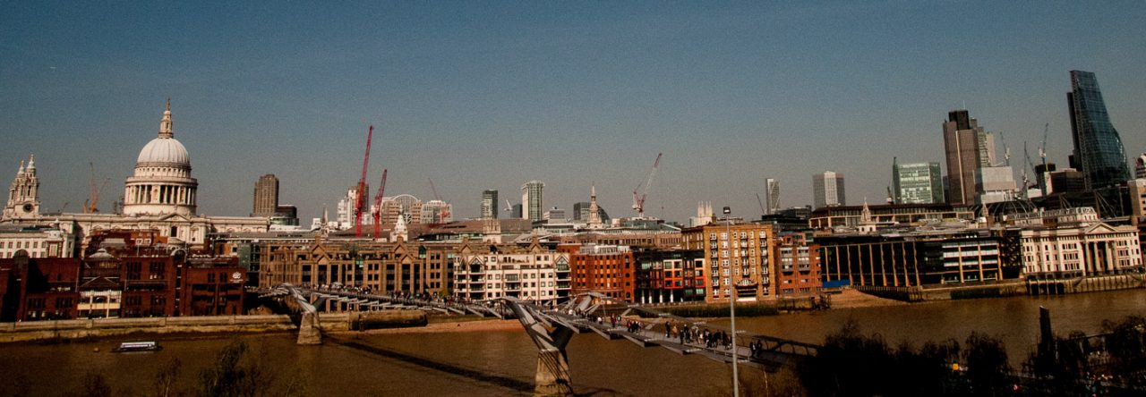
Since I wrote last week’s blog I became a bit obsessed with old boundary markers and started recording the ones I hoped my readers might find interesting. The City contains over 120 parishes, known primarily by the name of a church rather than a location, and although some may consist of only a few streets, up until the end of the 19th century they played an important part in the City’s governance. Although small, they were often densely populated, and most rectors and vicars would have known the majority of their brethren.
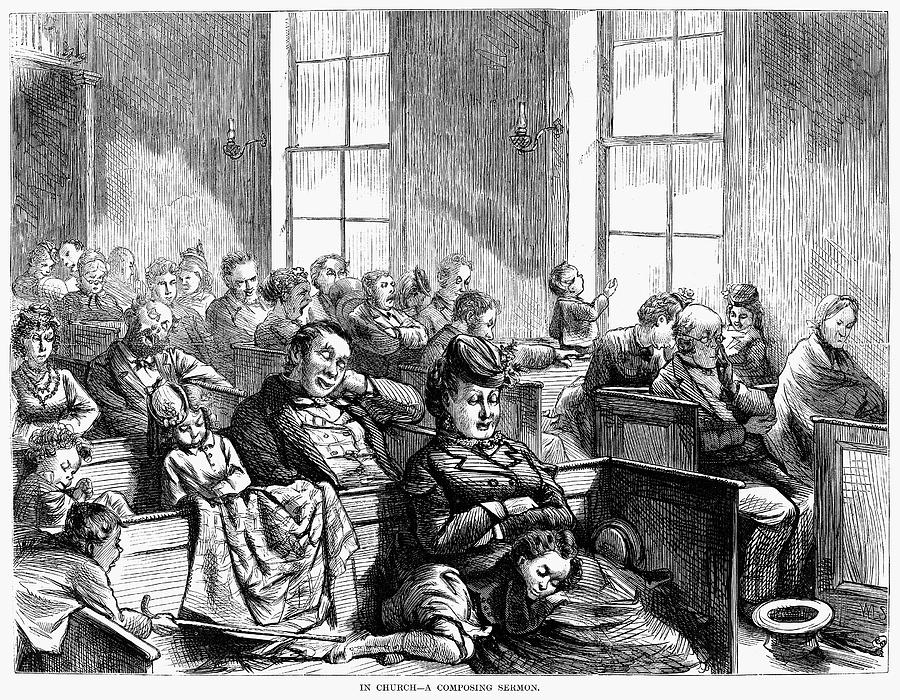
Church attendance was sometimes more of a duty than a pleasure.
As historian Mike Horne has pointed out, the parish already had a version of ‘management’ in the form of its vestry and a mechanism for getting local people together, either in the church or in a nearby vestry hall. It was to the parish that local administrative responsibility was gradually given by Parliament. Even when new statutory bodies were set up to deal with lighting, policing, paving, sewerage and so on, the parish remained as the local unit capable of raising its local rate or tax. It was therefore important that people knew what parish they lived in and where the boundaries were. From this emerged the need for distinctive markers. Horne has attempted to survey and record them all and his incredibly detailed research findings can be found on the Metadyne website which I found invaluable when composing this blog.
I like these old markers for two reasons. Firstly, they are a tangible link with the past, sometimes recording churches that have long since vanished and clerks, vergers and church wardens long since deceased. Secondly, they are remarkable survivors since most are not listed for conservation and their continued existence depends on rigorous planning enforcement and the compliance and support of developers.
Here are some of my favourites.
If you are travelling on the Underground and your train stops at Barbican station, look out of the window and you may see this stone marker on the station wall …
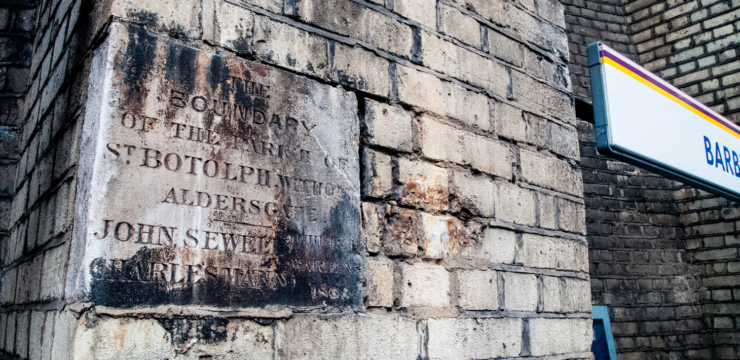
Barbican Station, Eastbound platform – Parish marker for St Botolph Without Aldersgate dated 1865.
The station, then called Aldersgate Street, opened on 23 December 1865 and was subsequently renamed several times before finally becoming Barbican in 1968. St Botolph’s church is still there in Aldersgate Street. ‘Without’ means it was located outside the City wall.
Parish markers are not always placed high up on walls, sometimes they can be found beneath your feet or just above street level. For example, as you walk down Fann Street EC1 you will come across this marker outside the Welsh Church …
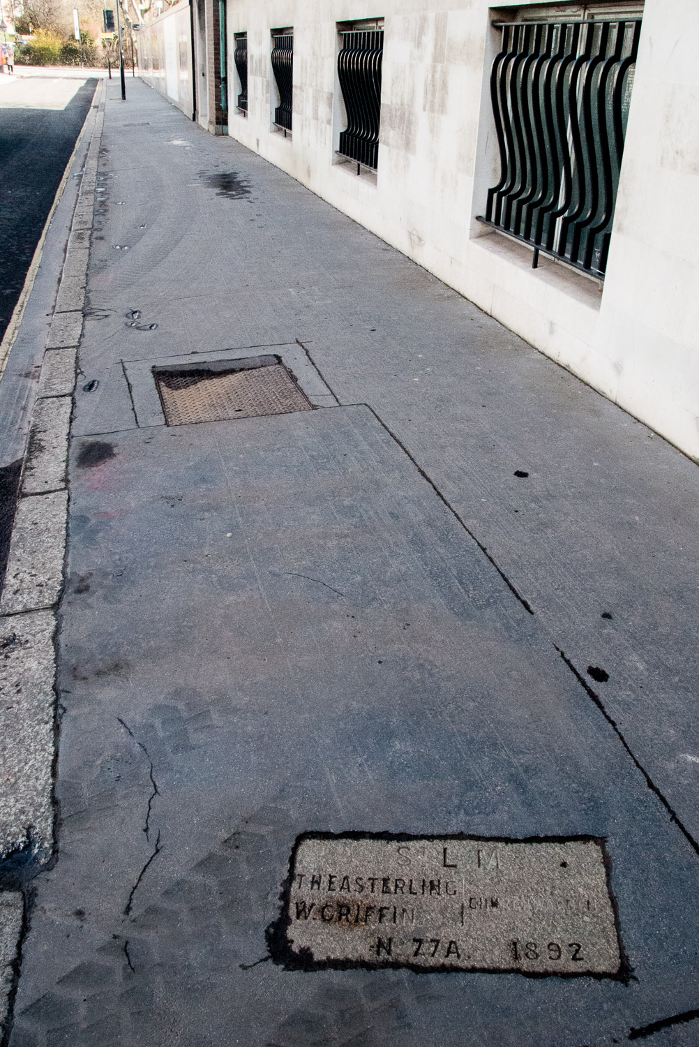
St Luke Middlesex and the City of London (the boundary passes through the church).
And there is this very unusual metal pavement marker outside No1 Fleet Street, opposite the Law Courts and Temple Bar …
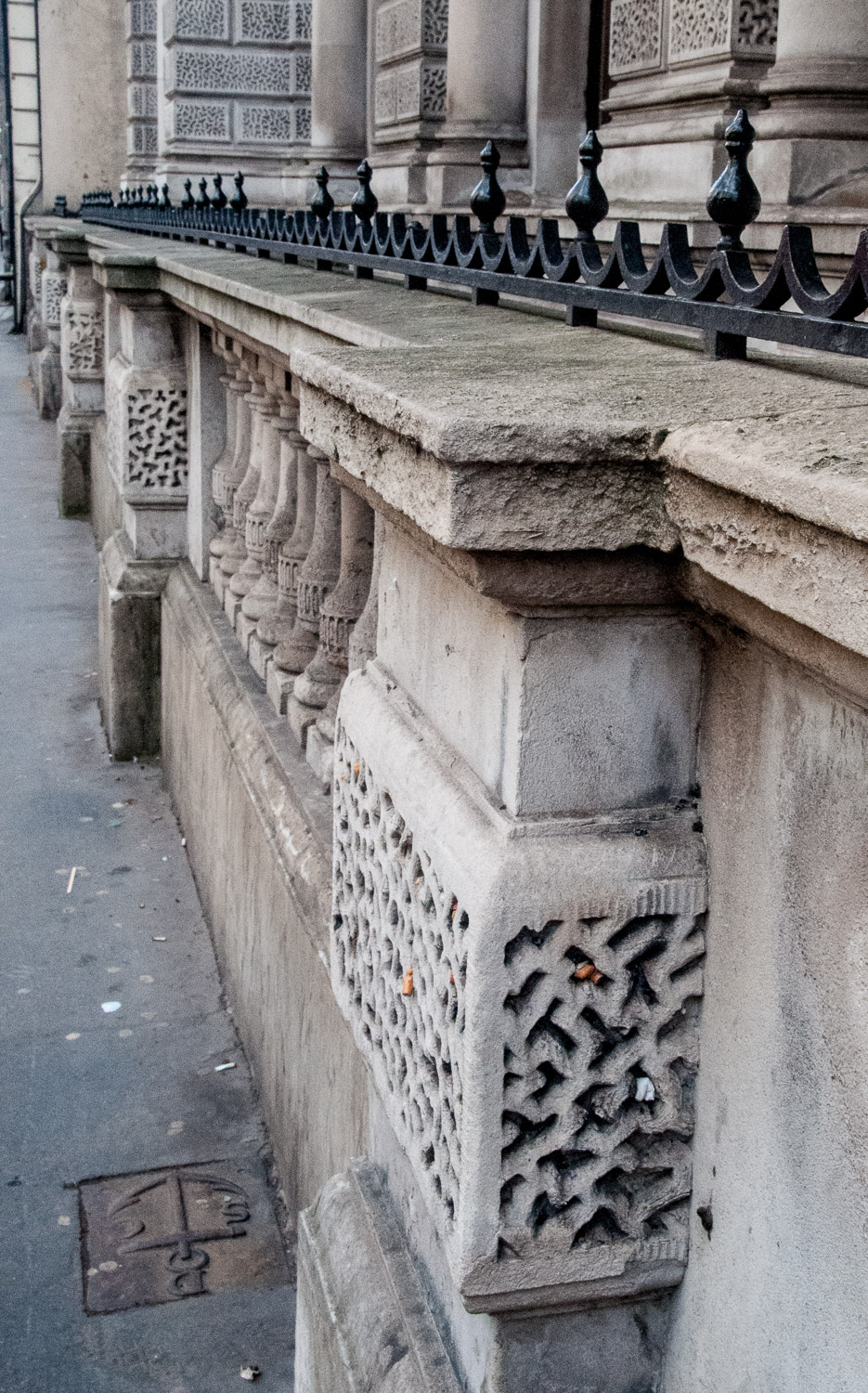
And in close up …
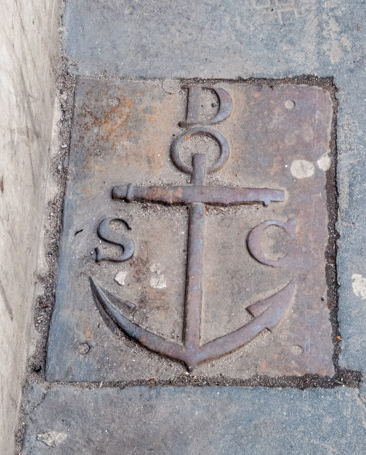
St Clement Danes with City of London (St Dunstan’s in the West).
If you are walking near Smithfield Market do take a look at street level on the east side of the main building (to the south of the central doorway). This is what you will see …
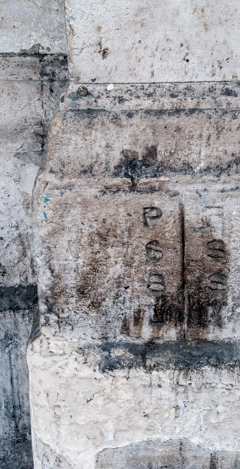
On the left, the marker for St Sepulchre London (City of London) and on the right St Sepulchre Middlesex. There are two more marker stones – congratulations if you can find them.
Many have been transferred to more modern buildings. For example, as commuters rush off to work from Cannon Street station there are two links with the distant past just above their heads …

In close up …
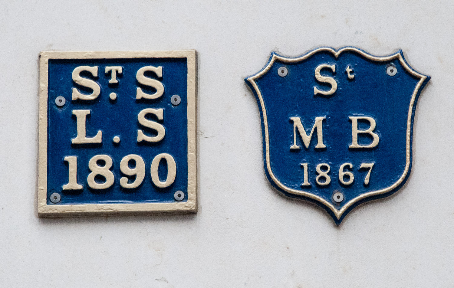
Markers for St Swithen London Stone and St Mary Bothaw.
St Swithen and St Mary Bothaw were both destroyed in the Great Fire of 1666 but only St Swithen was rebuilt (by Christopher Wren) in 1678 and the two parishes merged. Badly damaged in the Blitz, St Swithen was finally totally demolished in 1962.
And finally a few more markers that also record the names of Churchwardens and Vestry Clerks, stressing the importance of these gentlemen.
On 41 Carthusian Street, EC1, opposite Charterhouse Square …
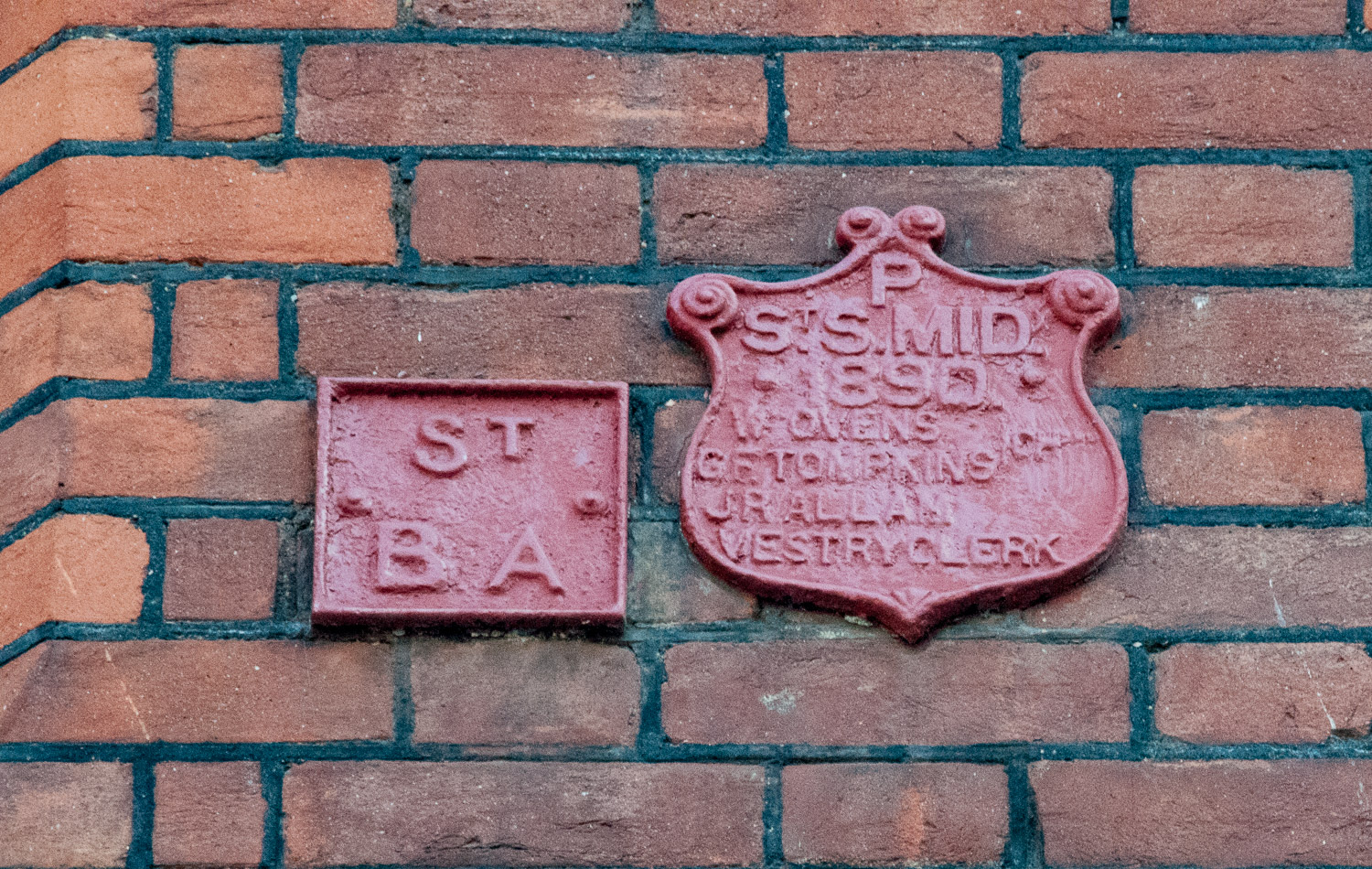
St Sepulchre (Middlesex) with the City Parish of St Botolph Without Aldersgate.
In Charterhouse Street, EC1 …
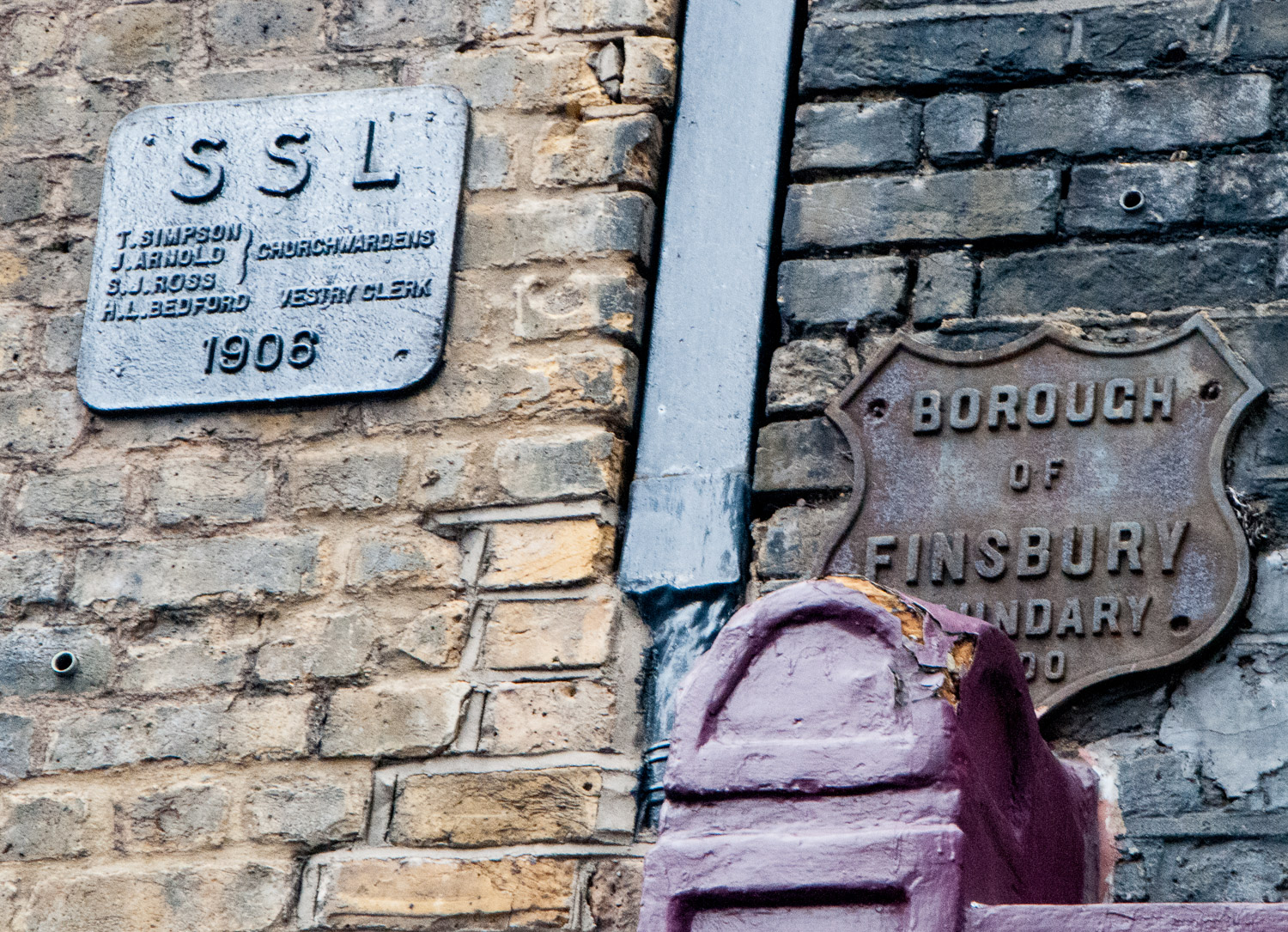
St Sepulchre (London) with the Metropolitan Borough of Finsbury.
There are many, many more examples of markers that I have come across but I will leave the subject for now and maybe return at a later date when I have done some more research. I hope very much you have enjoyed the journey so far.
