With global warming and rising sea levels just how safe are you as you walk along Cheapside? Read on to find out.
The City contains many examples of signs that were once important but have now ceased to have the relevance they once did.
If you know Wood Street then you will be familiar with the tower of the old church of St Alban, left stranded in the middle of the street as a result of wartime bombing and subsequent redevelopment …
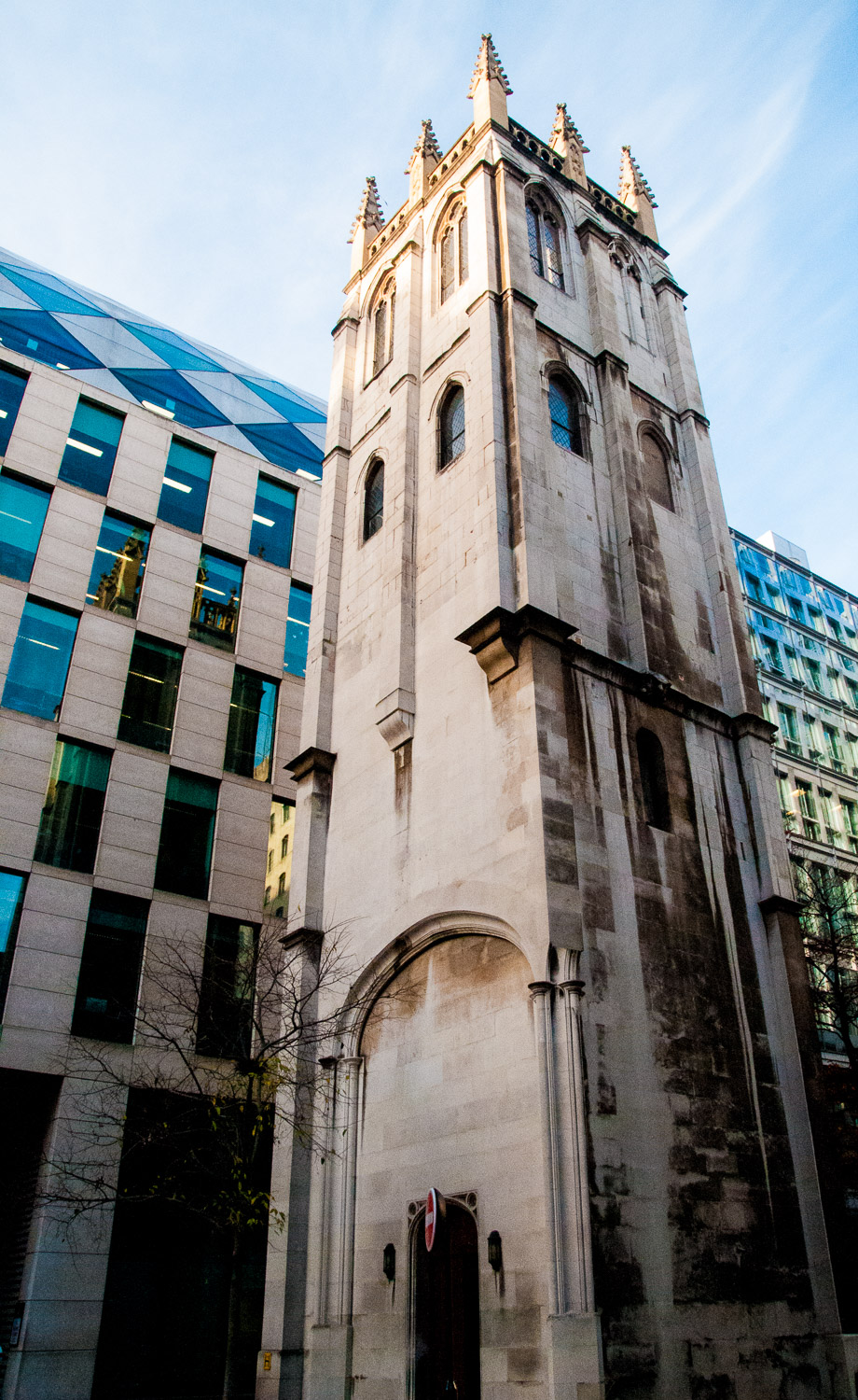
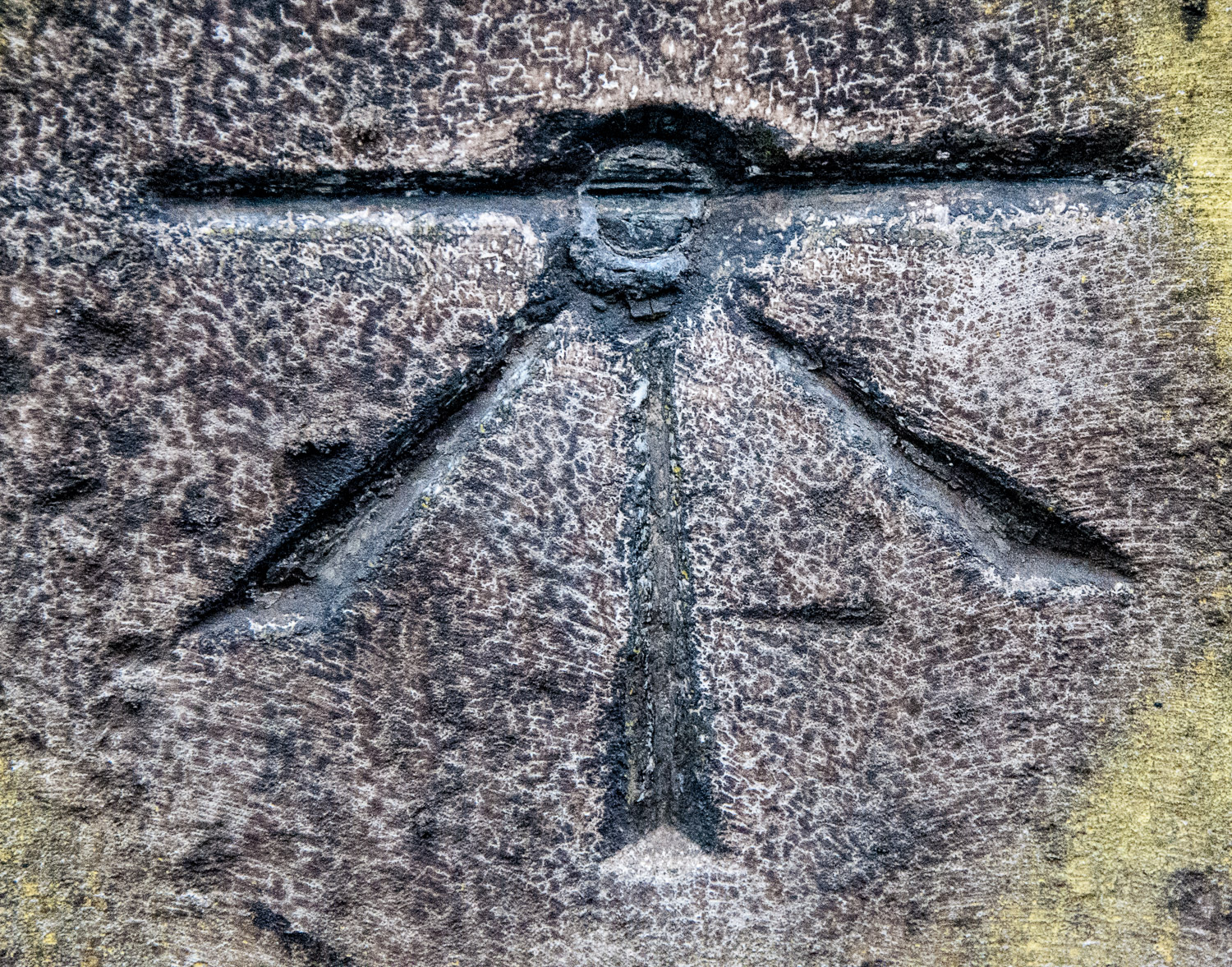
Whilst walking past it one day, I noticed this mark chiselled into the base of the west side of the tower …
Then, on a later date walking past St Mary-le-Bow in Cheapside, I saw another one …
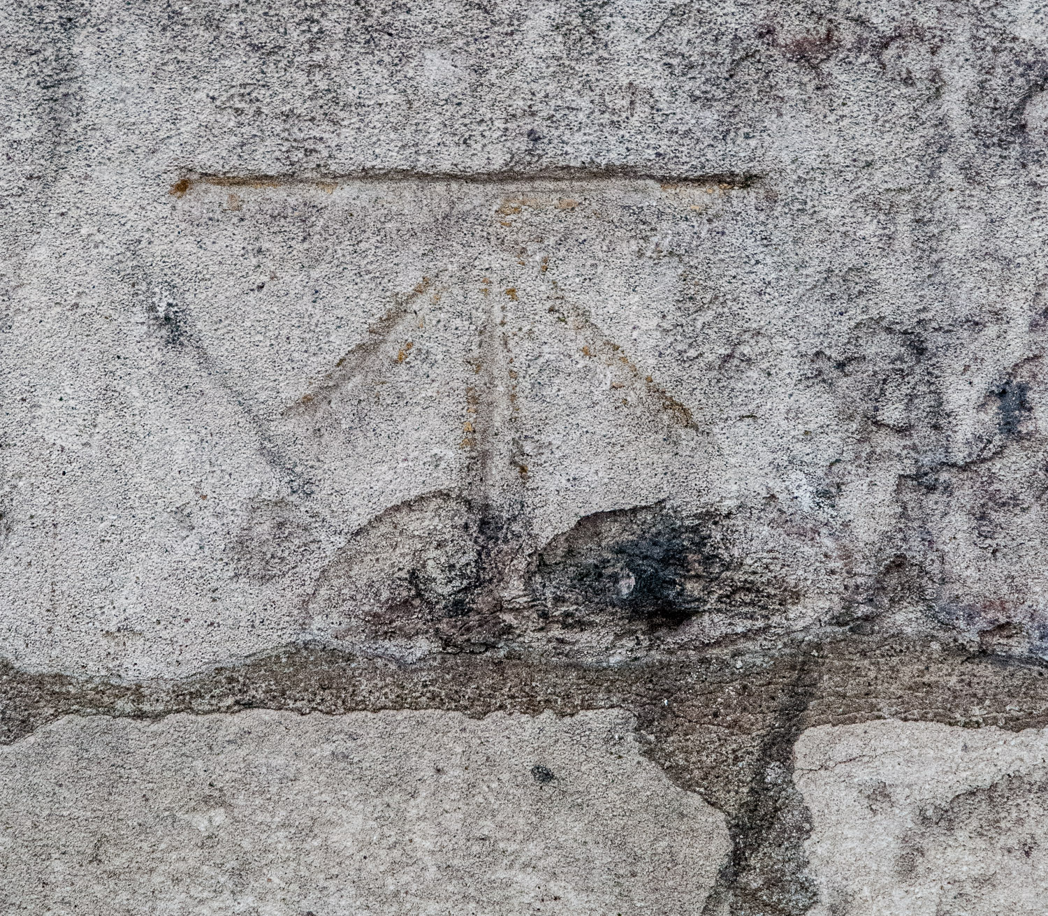
It isn’t so clear but if you want to see it look just below the notice boards on the Cheapside entrance to the church …
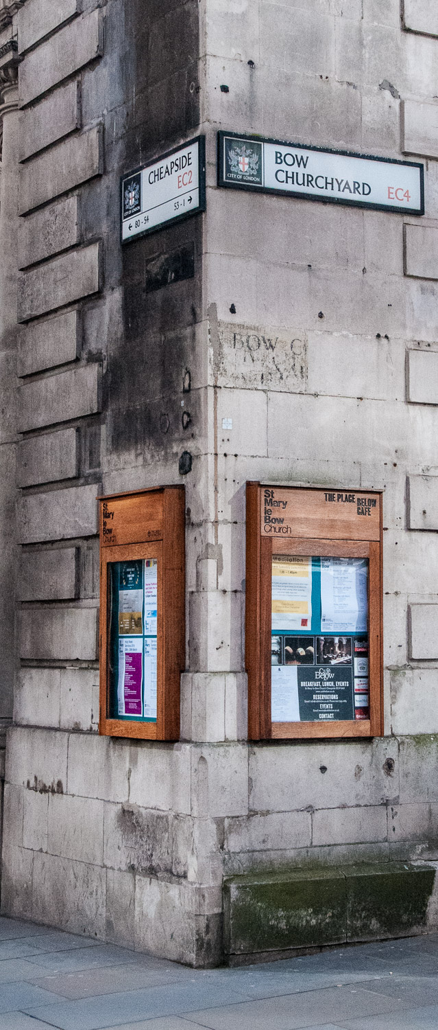
The mark is below the notice board on the left.
At first I thought they might be old War Department markers (see below) but didn’t think they were likely to be carved into churches.
I have subsequently discovered, to my personal surprise, that they are what is known as Bench Marks, and there are thousands around the UK indicating where the height above sea level has been calculated. Actually I have often wondered what was taken as ‘sea level’ since the sea tended to, well, go up and down. The decision was taken back in 1918 that the single reference point would be mean sea level at Newlyn in Cornwall. In its favour was that it was situated in an area of stable granite rock and the gauge was perched on the end of a stone pier at the harbour entrance where it was exposed to the open Atlantic. This meant it wasn’t liable to be influenced by the silting up of the estuary or river tide delays.
So now you know – Ordnance Datum Newlyn (ODN) is the national height system for mainland Great Britain and forms the reference frame for all heights above mean sea level. Bench Marks were made on buildings which surveyors believed were unlikely to be redeveloped or demolished – they would be the ‘bench mark’ for the surrounding area. Nowadays, however, satellites can measure this distance to the nearest few millimetres and Bench Marks are no longer inspected for accuracy.
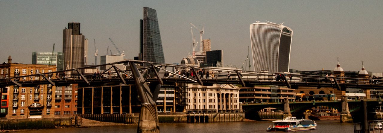
The St Alban tower survived the Blitz as did the tower of St Mary-le-Bow …
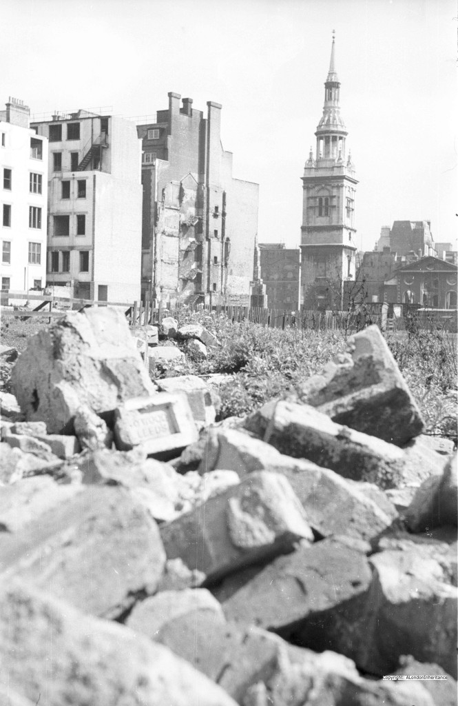
The St Mary-le-Bow tower shortly after the war. Photo : ‘A London Inheritance’.
So you can feel relatively safe from drowning as you walk down Cheapside – by the ODN measurement the church Bench Mark is 56.269ft above sea level!
On the right below is an example of the sign I confused the benchmarks with …
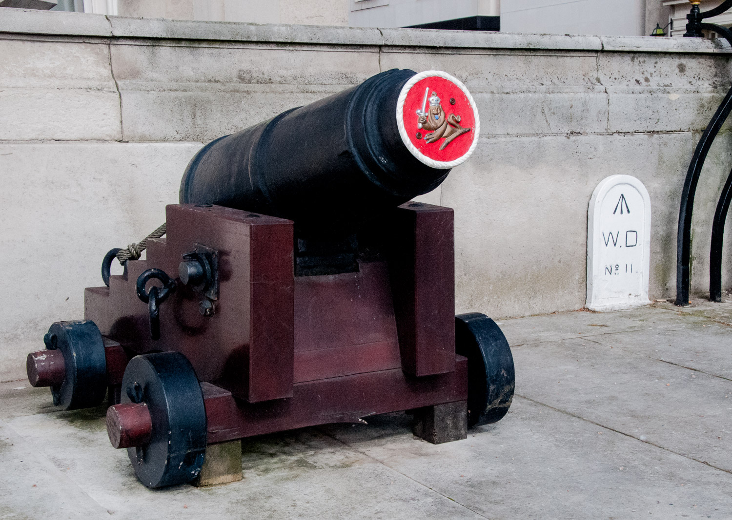
Outside Trinity House, Trinity Square.
The ‘broad arrow’ mark is used to identify property owned by the War Department (which became the Ministry of Defence in 1964) and here it appears on a boundary marker. There are half a dozen WD marks in the vicinity of the Tower of London, all numbered like No 11 above (in ascending order they are numbers 8, 12, 13, 21, 28 and 29).
And finally, I always take a picture of ghost signs because you never know how long they are likely to last. Here is a selection …
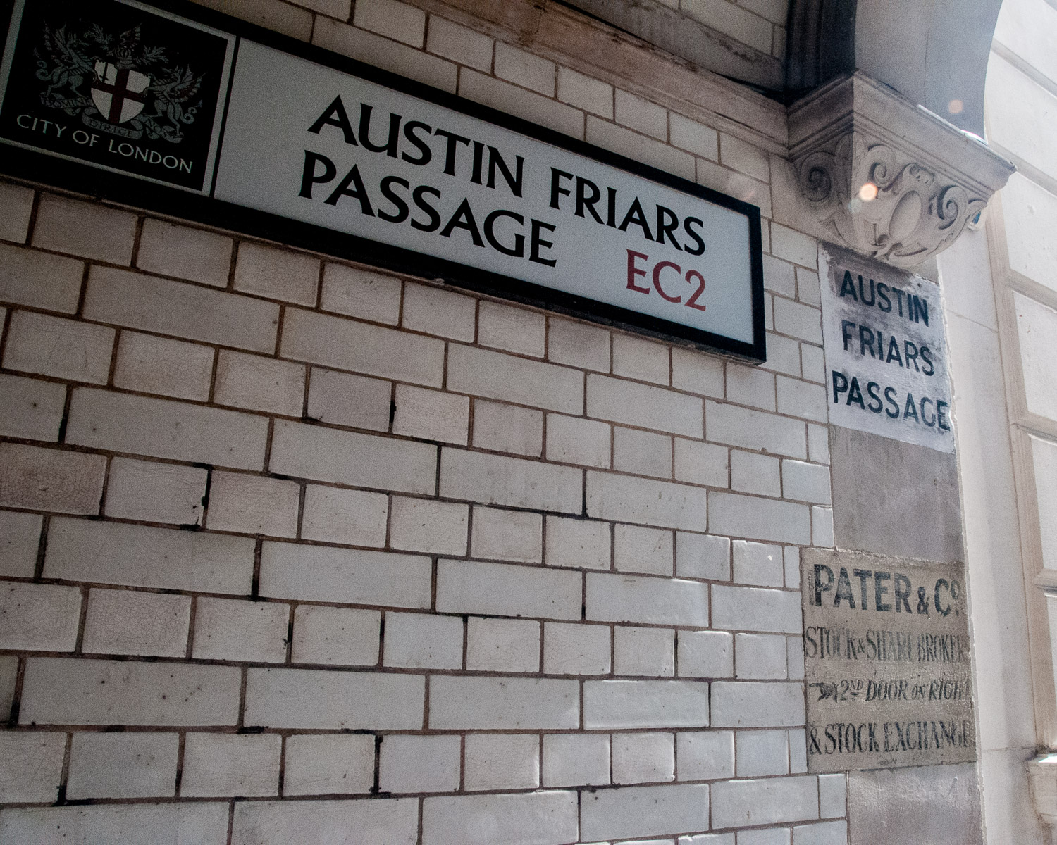
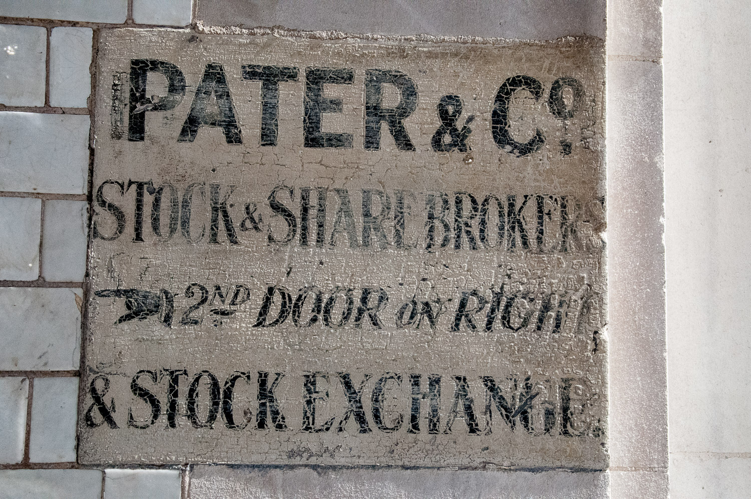
A bit of history from the ‘old days’ before Big Bang. There is still a second door on the right but opening it no longer reveals dapper gents with pinstriped trousers perusing the Financial Times.
At the top of Lovat Lane EC3 are these old survivors …
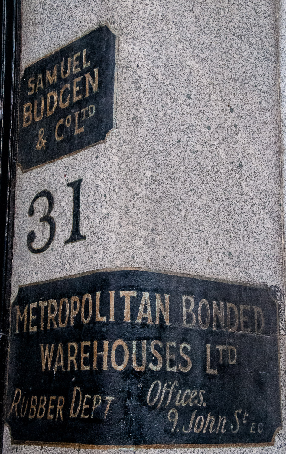
A bonded warehouse held taxable goods ‘in bond’ until an importer redeemed them by paying the appropriate level of excise duty.
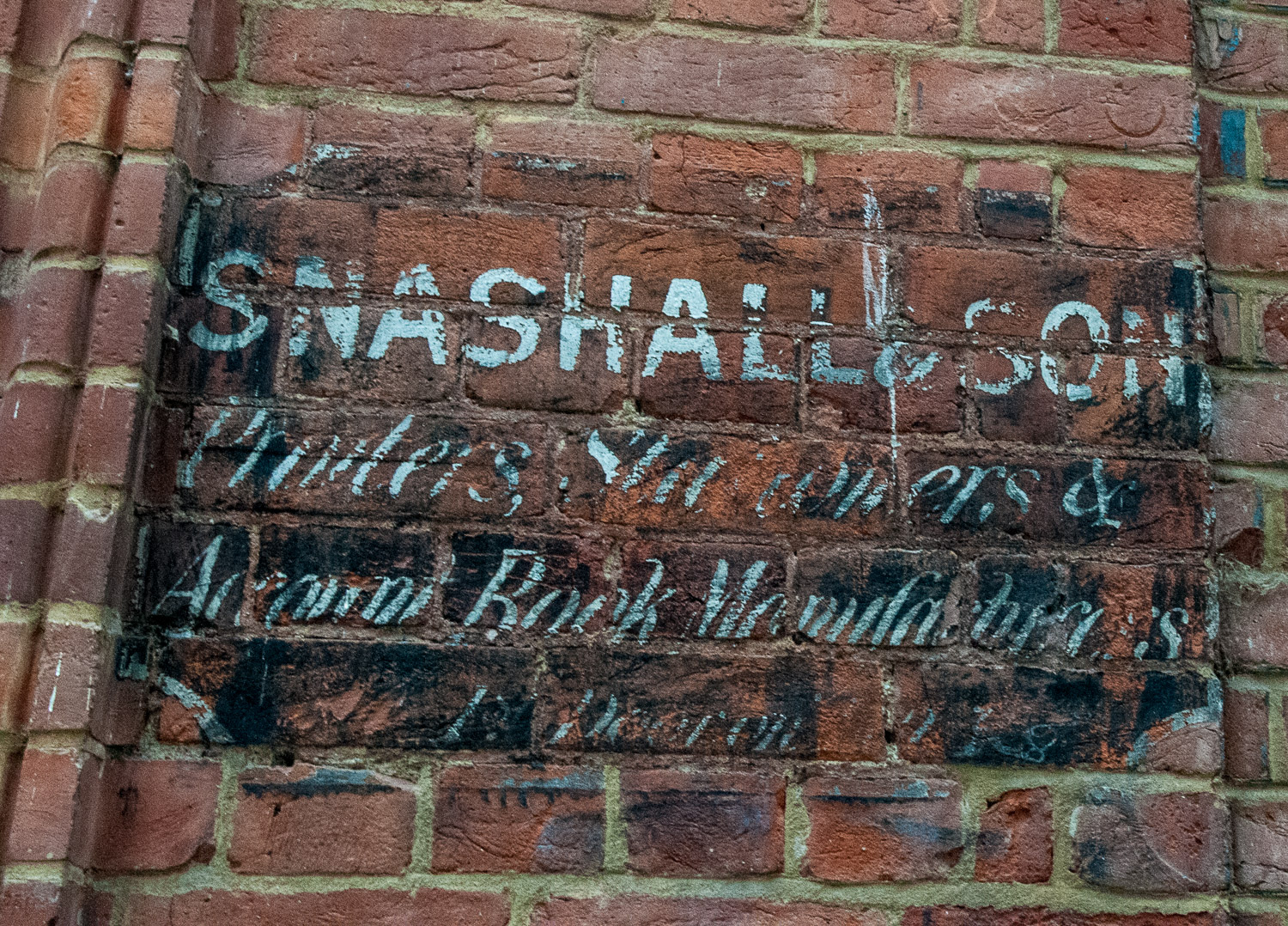
These printers, stationers and account book manufacturers were based in Wardrobe Place …
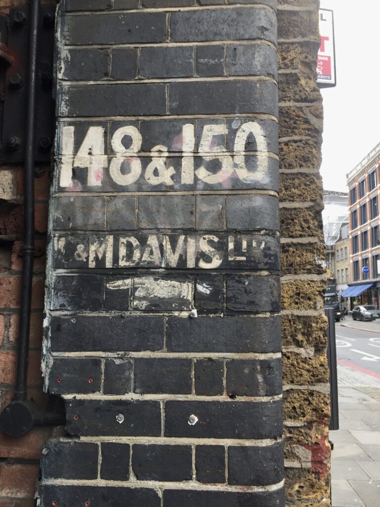
Another classic sign with smart shirt and cufflink …
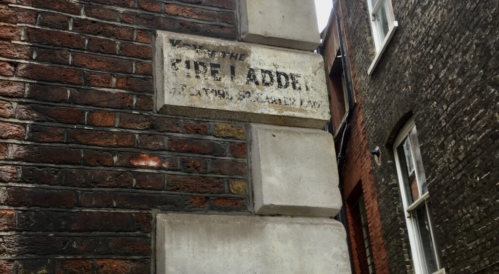
This message on the wall of St Andrew by the Wardrobe is gradually disappearing. Eventually no one will know that the key for the fire ladder is kept with the Sexton at nearby 52 Carter Lane …
If you would like to follow me on Instagram here is the link …